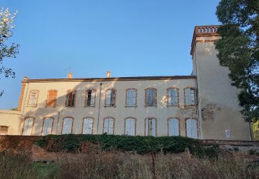
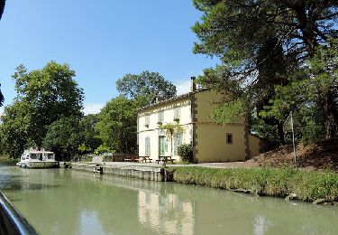
8,9 km | 10 km-effort
ARCEP Lacroix Falgarde gleysette
VACHER31
Gebruiker
Lengte
8,3 km
Max. hoogte
257 m
Positief hoogteverschil
175 m
Km-Effort
10,6 km
Min. hoogte
147 m
Negatief hoogteverschil
172 m
Boucle
Ja
Datum van aanmaak :
2019-09-08 12:39:27.019
Laatste wijziging :
2019-09-08 15:36:26.861
1h47
Moeilijkheid : Heel gemakkelijk
Gratisgps-wandelapplicatie
Over ons
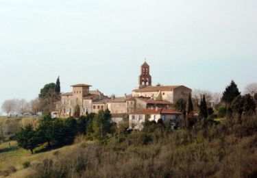
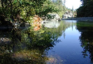
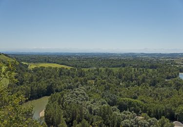
Tocht Stappen van 8,3 km beschikbaar op Occitanië, Haute-Garonne, Lacroix-Falgarde. Deze tocht wordt voorgesteld door VACHER31.
Beschrijving
Boucle, un passage à gué et descente un peu raide avec escaliers
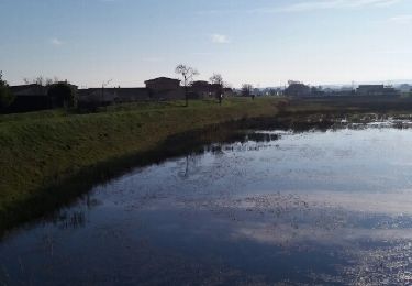
Plaatsbepaling
Land:
France
Regio :
Occitanië
Departement/Provincie :
Haute-Garonne
Gemeente :
Lacroix-Falgarde
Locatie:
Unknown
Vertrek:(Dec)
Vertrek:(UTM)
371071 ; 4817834 (31T) N.
Opmerkingen
Wandeltochten in de omgeving
Saubens falaise Villate
Stappen
Heel gemakkelijk
(3)
Saubens,
Occitanië,
Haute-Garonne,
France
2h 11min
Ja
De Pins Justaret à Clermont Le Fort
Mountainbike
Medium
(1)
Pins-Justaret,
Occitanië,
Haute-Garonne,
France
30 km | 35 km-effort
2h 30min
Ja
Aureville à Goyrans
Mountainbike
Medium
(1)
Aureville,
Occitanië,
Haute-Garonne,
France
14,9 km | 19,4 km-effort
1h 0min
Ja
Aureville à Goyrans
Stappen
Medium
(1)
Aureville,
Occitanië,
Haute-Garonne,
France
14,9 km | 19,4 km-effort
3h 0min
Ja
Boucle de Notre-Dame des Bois
Te voet
Gemakkelijk
Clermont-le-Fort,
Occitanië,
Haute-Garonne,
France
10,9 km | 14,1 km-effort
3h 12min
Ja
L'Ariège de Clermont Le Fort à Vénerque
Stappen
Medium
(2)
Clermont-le-Fort,
Occitanië,
Haute-Garonne,
France
9,2 km | 12,2 km-effort
2h 0min
Ja
PINSAGUEL : sentier de la Confluence (24.08.2023)
Stappen
Heel gemakkelijk
Pinsaguel,
Occitanië,
Haute-Garonne,
France
3,8 km | 4,4 km-effort
1h 15min
Ja
2019_12_03 Miremont
Elektrische fiets
Medium
(1)
Roquettes,
Occitanië,
Haute-Garonne,
France
54 km | 60 km-effort
2h 38min
Ja
Canal du midi de Roques à carcassonne
Fiets
Gemakkelijk
Roques,
Occitanië,
Haute-Garonne,
France
106 km | 116 km-effort
6h 39min
Neen