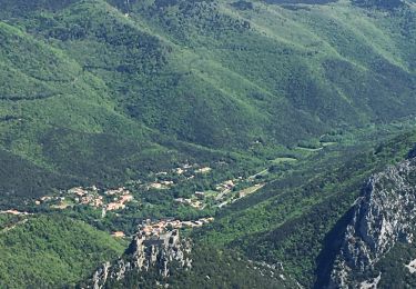
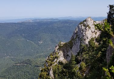
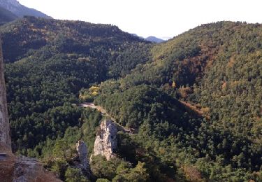
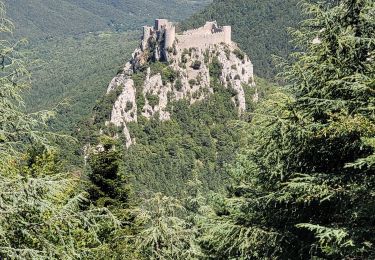
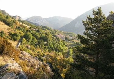
10,1 km | 16,9 km-effort
Puilaurens V3
mouma_77
Gebruiker
Lengte
11,1 km
Max. hoogte
820 m
Positief hoogteverschil
450 m
Km-Effort
17,1 km
Min. hoogte
461 m
Negatief hoogteverschil
456 m
Boucle
Ja
Datum van aanmaak :
2019-09-05 16:39:48.108
Laatste wijziging :
2019-09-05 16:46:39.293
--
Moeilijkheid : Heel gemakkelijk
Gratisgps-wandelapplicatie
Over ons
Tocht Te voet van 11,1 km beschikbaar op Occitanië, Aude. Deze tocht wordt voorgesteld door mouma_77.
Plaatsbepaling
Land:
France
Regio :
Occitanië
Departement/Provincie :
Aude
Gemeente :
PUILAURENS
Locatie:
Unknown
Vertrek:(Dec)
Vertrek:(UTM)
443102 ; 4738927 (31T) N.
Opmerkingen
Wandeltochten in de omgeving
Le Caunil. Maison forestière par Puylaurens
Stappen
Moeilijk
Salvezines,
Occitanië,
Aude,
France
10 km | 16,2 km-effort
2h 45min
Ja
La forêt d en Malo depuis le Caunil (11)
Stappen
Medium
(1)
Salvezines,
Occitanië,
Aude,
France
13,2 km | 22 km-effort
5h 22min
Ja
axat château de puylaurens
Stappen
Gemakkelijk
Axat,
Occitanië,
Aude,
France
22 km | 33 km-effort
6h 27min
Ja
Autour du Pic d'Estable - Salvezine
Stappen
Moeilijk
Salvezines,
Occitanië,
Aude,
France
16,1 km | 27 km-effort
5h 30min
Ja
château de Puilaurens
Stappen
Heel gemakkelijk
Puilaurens,
Occitanië,
Aude,
France
13,7 km | 21 km-effort
4h 40min
Ja
11_Aigues Bonnes_Quirbajou_J4
Stappen
Moeilijk
Puilaurens,
Occitanië,
Aude,
France
26 km | 39 km-effort
9h 51min
Neen
Cathares E6 Puilaurens - Prugnanes 07.06.2019
Stappen
Moeilijk
Puilaurens,
Occitanië,
Aude,
France
25 km | 36 km-effort
7h 30min
Neen