


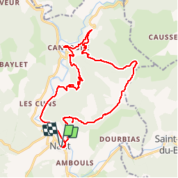

15,3 km | 23 km-effort


Gebruiker


Gratisgps-wandelapplicatie
 SityTrail
IGN / Geografische instituten
SityTrail World
De wereld gaat voor u open
Tocht Stappen van 21 km beschikbaar op Occitanië, Aveyron, Nant. Deze tocht wordt voorgesteld door labarone.
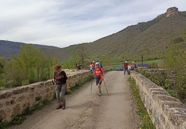
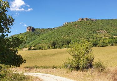
En passant par le roc nantais et le mas balmarelesse
2 bonnes montees..
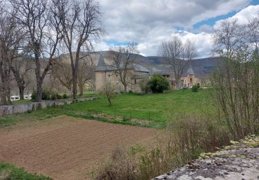
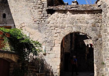
Village de cantobre magnifique à voir absolument... Voir photos... Un resto qui a l air très bien
A FAIRE !!!!


Stappen
Stappen
Stappen
Stappen
Stappen
Stappen

Lopen

Stappen
Stappen