22 km | 32 km-effort
Senergues
christian1957
Gebruiker
Lengte
19,3 km
Max. hoogte
680 m
Positief hoogteverschil
450 m
Km-Effort
26 km
Min. hoogte
363 m
Negatief hoogteverschil
603 m
Boucle
Neen
Datum van aanmaak :
2019-08-21 06:30:24.0
Laatste wijziging :
2019-08-21 12:56:58.505
6h26
Moeilijkheid : Moeilijk
Gratisgps-wandelapplicatie
Over ons
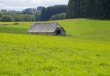
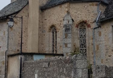
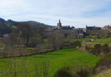
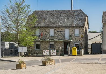
Tocht Stappen van 19,3 km beschikbaar op Occitanië, Aveyron, Golinhac. Deze tocht wordt voorgesteld door christian1957.
Plaatsbepaling
Land:
France
Regio :
Occitanië
Departement/Provincie :
Aveyron
Gemeente :
Golinhac
Locatie:
Unknown
Vertrek:(Dec)
Vertrek:(UTM)
469846 ; 4935637 (31T) N.
Opmerkingen
Wandeltochten in de omgeving
Estaing - Espeyrac - Chemin de St-Jacques de Compostelle
Stappen
Moeilijk
(1)
Estaing,
Occitanië,
Aveyron,
France
23 km | 32 km-effort
4h 15min
Neen
Massip Conques Avril 2018
Stappen
Medium
Golinhac,
Occitanië,
Aveyron,
France
23 km | 31 km-effort
6h 6min
Neen
Rallye Estaing 2013 - 15km
Paard
Medium
(1)
Estaing,
Occitanië,
Aveyron,
France
17,4 km | 24 km-effort
2h 59min
Ja
St Jacques Etape 9 par GR6
Stappen
Zeer moeilijk
Sébrazac,
Occitanië,
Aveyron,
France
23 km | 31 km-effort
6h 57min
Neen
Le Plateau de Campuac
Te voet
Gemakkelijk
Campuac,
Occitanië,
Aveyron,
France
7,6 km | 9 km-effort
2h 2min
Neen
Un Village Fleuri
Te voet
Gemakkelijk
Le Nayrac,
Occitanië,
Aveyron,
France
4,9 km | 6,6 km-effort
1h 29min
Neen
CC_Velay_BE_09_Golinhac_Conques-Rouergue_20070824
Stappen
Medium
Golinhac,
Occitanië,
Aveyron,
France
20 km | 27 km-effort
5h 35min
Neen
golinhac conques
Stappen
Moeilijk
Golinhac,
Occitanië,
Aveyron,
France
24 km | 31 km-effort
6h 23min
Neen