9,7 km | 12,4 km-effort
levast
canuardg
Gebruiker
Lengte
6,9 km
Max. hoogte
92 m
Positief hoogteverschil
119 m
Km-Effort
8,5 km
Min. hoogte
27 m
Negatief hoogteverschil
116 m
Boucle
Ja
Datum van aanmaak :
2019-08-18 14:30:41.813
Laatste wijziging :
2019-08-19 18:40:47.813
1h48
Moeilijkheid : Heel gemakkelijk
Gratisgps-wandelapplicatie
Over ons
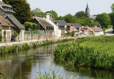
Tocht Stappen van 6,9 km beschikbaar op Normandië, Manche, Le Vast. Deze tocht wordt voorgesteld door canuardg.
Plaatsbepaling
Land:
France
Regio :
Normandië
Departement/Provincie :
Manche
Gemeente :
Le Vast
Locatie:
Unknown
Vertrek:(Dec)
Vertrek:(UTM)
617433 ; 5497874 (30U) N.
Opmerkingen
Wandeltochten in de omgeving
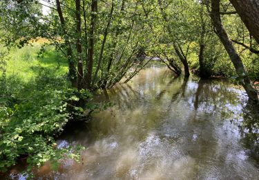
Le long de la vallée de la Sairre
Stappen
Medium
Le Vast,
Normandië,
Manche,
France
10 km | 12,6 km-effort
2h 40min
Ja
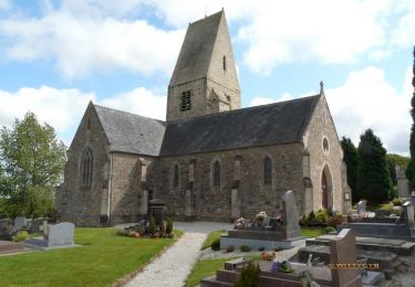
Clitourps
Stappen
Gemakkelijk
Clitourps,
Normandië,
Manche,
France
9,9 km | 11,3 km-effort
2h 13min
Ja
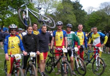
Rando des châtaignes - Teurtheville-Bocage
Mountainbike
Moeilijk
Teurthéville-Bocage,
Normandië,
Manche,
France
30 km | 37 km-effort
2h 30min
Ja
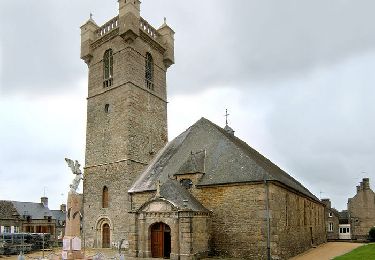
Rando des châtaignes 2013 - Teurthéville Bocage
Mountainbike
Medium
Teurthéville-Bocage,
Normandië,
Manche,
France
38 km | 47 km-effort
2h 30min
Ja
Petite balade dans le val de Saire - Théville
Mountainbike
Medium
Théville,
Normandië,
Manche,
France
31 km | 37 km-effort
4h 49min
Ja
LE VAST-LA PERNELLE
sport
Heel gemakkelijk
Le Vast,
Normandië,
Manche,
France
5,6 km | 7,1 km-effort
Onbekend
Neen
raid post 1ere grp 5
Stappen
Zeer moeilijk
Le Vast,
Normandië,
Manche,
France
61 km | 69 km-effort
15h 45min
Ja