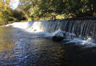
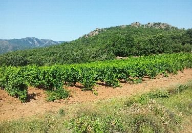
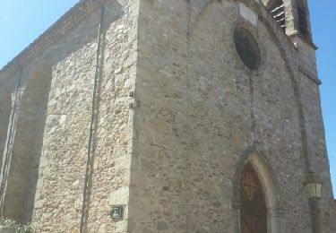
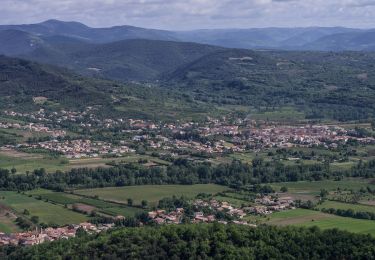
Tocht Fiets Villemagne-l'Argentière - bedarieux. Mons la trivale par la voie verte allé retour - Photo

bedarieux. Mons la trivale par la voie verte allé retour

 urka34
urka34

Gebruiker

© OpenStreetMap contributors
Lengte
Lengte
31 km
Max. hoogte
Max. hoogte
217 m
Positief hoogteverschil
460 m
Km-Effort
Km-Effort  
37 km
Min. hoogte
Min. hoogte
164 m
Negatief hoogteverschil
463 m
Boucle
Boucle
Neen
Datum van aanmaak :
2014-12-10 00:00:00.0
Laatste wijziging :
2014-12-10 00:00:00.0

(2 Bericht)

Fiets
Fiets
3h11
Moeilijkheid : Heel gemakkelijk

Scan deze QR-code om de tocht te openen in de SityTrail-applicatie

Gratisgps-wandelapplicatie

Logo SityTrail SityTrail

IGN / Geografische instituten

SityTrail uit de App Store downloaden SityTrail uit Google Play downloaden

Logo SityTrail SityTrail World

De wereld gaat voor u open

SityTrail uit de App Store downloaden SityTrail uit Google Play downloaden SityTrail op Huawei AppGallery downloaden

Over ons

Tocht Fiets van 31 km beschikbaar op Occitanië, Hérault, Villemagne-l'Argentière. Deze tocht wordt voorgesteld door urka34.

Beschrijving

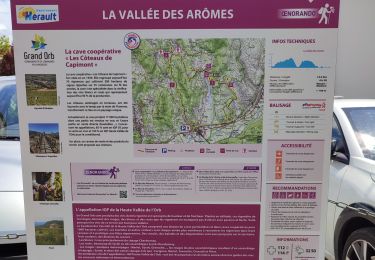
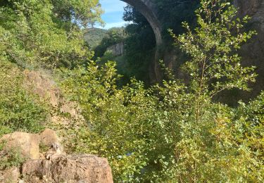
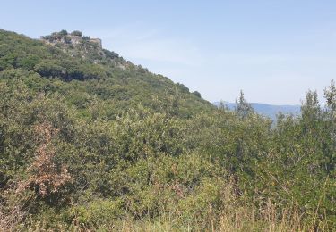
Super balade très peut de dénivelé

Hoogteprofiel

Foto's

Plaatsbepaling

Land:
France
Regio :
Occitanië
Departement/Provincie :
Hérault
Gemeente :
Villemagne-l'Argentière
Locatie:
Unknown
Vertrek:(Dec)
Vertrek:(UTM)
510524 ; 4827108 (31T) N.

Opmerkingen

Gelieve in te loggen om een commentaar of een beoordeling achter te laten


Belle balade


Bonne rando


Wandeltochten in de omgeving

Tocht Stappen Hérépian - herepian pic de Tantajo - Photo
Stappen
mrclic34

Stappen

Gemakkelijk
(1)
Hérépian, Occitanië, Hérault, France
13 km | 18,6 km-effort
4h 17min
Ja
Tocht Stappen Taussac-la-Billière - orgues de taussac - Photo
Stappen
pphilippe

Stappen

Gemakkelijk
(2)
Taussac-la-Billière, Occitanië, Hérault, France
9,3 km | 14,2 km-effort
3h 1min
Ja
Tocht Stappen Les Aires - Saint Michel la coquillade - Photo
Stappen
Paulodst

Stappen

Medium
(1)
Les Aires, Occitanië, Hérault, France
13,2 km | 21 km-effort
4h 7min
Ja
Tocht Te voet Les Aires - Pic de la Coquillade - Photo
Te voet
GUIDE+

Te voet

Gemakkelijk
Les Aires, Occitanië, Hérault, France
11,3 km | 19 km-effort
4h 19min
Ja
Tocht Stappen Hérépian - vallée des arômes  - Photo
Stappen
Paulodst

Stappen

Medium
Hérépian, Occitanië, Hérault, France
13,4 km | 17,4 km-effort
3h 11min
Ja
Tocht Stappen Villemagne-l'Argentière - Boussagues - Photo
Stappen
Raymond DAVID

Stappen

Medium
Villemagne-l'Argentière, Occitanië, Hérault, France
16 km | 22 km-effort
4h 30min
Ja
Tocht Te voet Lamalou-les-Bains - Circuit Le Roc de Bessèdes - Photo
Te voet
GUIDE+

Te voet

Gemakkelijk
Lamalou-les-Bains, Occitanië, Hérault, France
11,2 km | 17,6 km-effort
3h 59min
Ja
Tocht Stappen Les Aires - les aires, chapelle Saint Michel  - Photo
Stappen
francislassauce

Stappen

Medium
Les Aires, Occitanië, Hérault, France
7,6 km | 11,4 km-effort
3h 25min
Ja
Tocht Stappen Lamalou-les-Bains - Lamalou-Notre Dame de Capimont - Photo
Stappen
ericferon

Stappen

Gemakkelijk
Lamalou-les-Bains, Occitanië, Hérault, France
8,2 km | 12,1 km-effort
2h 40min
Ja


Sluiten
Mijn abonnementen