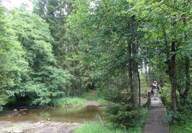
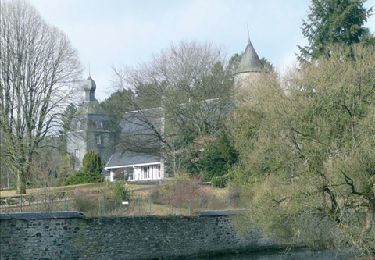
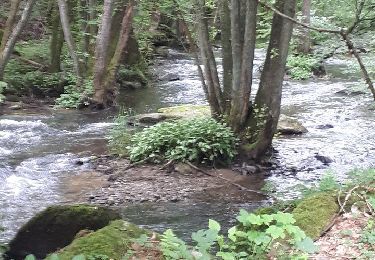
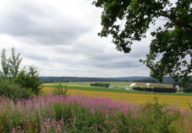
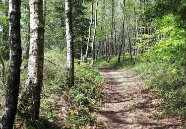
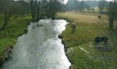
Tocht Stappen Paliseul - RB-LUX-10 - Raccourci 2 - Le long de deux rivières fougueuses : l’Our et la Lesse - Photo

RB-LUX-10 - Raccourci 2 - Le long de deux rivières fougueuses : l’Our et la Lesse

Randonnez sur et autour des GR ® wallons (Sentiers de Grande Randonnée). PRO

© OpenStreetMap contributors
Lengte
Lengte
22 km
Max. hoogte
Max. hoogte
420 m
Positief hoogteverschil
504 m
Km-Effort
Km-Effort  
29 km
Min. hoogte
Min. hoogte
264 m
Negatief hoogteverschil
504 m
Boucle
Boucle
Ja
Datum van aanmaak :
2019-08-07 07:25:37.109
Laatste wijziging :
2022-03-13 12:03:31.748

(2 Bericht)

Stappen
Stappen
4h06
Moeilijkheid : Gemakkelijk

Scan deze QR-code om de tocht te openen in de SityTrail-applicatie

Gratisgps-wandelapplicatie

Logo SityTrail SityTrail

IGN / Geografische instituten

SityTrail uit de App Store downloaden SityTrail uit Google Play downloaden

Logo SityTrail SityTrail World

De wereld gaat voor u open

SityTrail uit de App Store downloaden SityTrail uit Google Play downloaden SityTrail op Huawei AppGallery downloaden

Over ons

Tocht Stappen van 22 km beschikbaar op Wallonië, Luxemburg, Paliseul. Deze tocht wordt voorgesteld door GR Rando.

Beschrijving

Maissin, Beth, Our, Maissin

Cartographie et documentation :

Carte IGN au 1 : 20 000, 64/1-2 « Bièvre – Redu ».

Carte IGN des Promenades : « Paliseul », éditeur responsable : S.I.de Paliseul.Topo-guide du GR 14 « Sentier de l’Ardenne ».


Où se désaltérer et se restaurer :

Supérette et hôtel-restaurant à Maissin. Restaurant-café à Our (possibilité de tirer son casse-croûte du sac).

Différents restaurants ou cafés dans les villages voisins, par exemple à Paliseul, à Redu, ou encore à Libin…

Foto's

POI's

POI Paliseul - Cimetière de Maissin - Photo
GR Rando
POI Paliseul - Couvent des Abbyes - Photo
GR Rando
POI Paliseul - Beth - Photo
GR Rando
PALISEUL 
POI Paliseul - Our - Photo
GR Rando
PALISEUL 

Plaatsbepaling

Land:
Belgium
Regio :
Wallonië
Departement/Provincie :
Luxemburg
Gemeente :
Paliseul
Locatie:
Unknown
Vertrek:(UTM)
656293 ; 5536962 (31U) N.

Opmerkingen

Gelieve in te loggen om een commentaar of een beoordeling achter te laten


Boucle parcourue hier. Super trajet dans une forêt magnifique.


Wandeltochten in de omgeving

Tocht Stappen Paliseul - Balade au pays de la Haute-Lesse - Au fil de l'Our - Photo
Stappen
GUIDE
Desrumaux

Stappen

Gemakkelijk
(6)
Paliseul, Wallonië, Luxemburg, Belgium
11,5 km | 14,5 km-effort
3h 9min
Ja
Tocht Stappen Paliseul - RB-Lu-10_Maissin - Photo
Stappen
PRO

Stappen

Moeilijk
(7)
Paliseul, Wallonië, Luxemburg, Belgium
25 km | 32 km-effort
6h 38min
Ja
Tocht Stappen Libin - Lesse - Promenade de la Lesse (LI06) - Photo
Stappen
GUIDE+

Stappen

Medium
(6)
Libin, Wallonië, Luxemburg, Belgium
8,6 km | 11,3 km-effort
2h 26min
Ja
Tocht Stappen Libin - Du village de Redu au hameau de Lesse - Photo
Stappen
GUIDE
Desrumaux

Stappen

Gemakkelijk
(3)
Libin, Wallonië, Luxemburg, Belgium
11,3 km | 14,9 km-effort
3h 13min
Ja
Tocht Stappen Libin - Lesse - Entre Lesse et Lomme - Photo
Stappen
GUIDE+

Stappen

Heel gemakkelijk
(2)
Libin, Wallonië, Luxemburg, Belgium
78 km | 102 km-effort
20h 32min
Ja
Tocht Stappen Libin - Redu - La Virée des Croix - Photo
Stappen
GUIDE+

Stappen

Medium
(4)
Libin, Wallonië, Luxemburg, Belgium
6,1 km | 8,2 km-effort
1h 44min
Ja
Tocht Stappen Paliseul - RB-LUX-10 - Raccourci 1 - Le long de deux rivières fougueuses : l’Our et la Lesse - Photo
Stappen
PRO

Stappen

Medium
(2)
Paliseul, Wallonië, Luxemburg, Belgium
14,9 km | 19,4 km-effort
5h 59min
Ja
Tocht Stappen Libin - Redu - janvier 2025 - Photo
Stappen
BrigitteBertrand

Stappen

Moeilijk
(1)
Libin, Wallonië, Luxemburg, Belgium
12,2 km | 16,2 km-effort
3h 34min
Neen
Tocht Stappen Libin - ANLOY (Cimetière Militaire) - Photo
Stappen
GerardBouche

Stappen

Gemakkelijk
Libin, Wallonië, Luxemburg, Belgium
11,1 km | 13,8 km-effort
2h 59min
Ja


Sluiten
Mijn abonnementen