


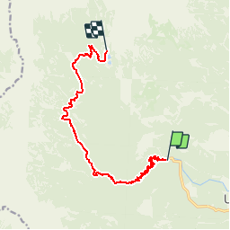

8,9 km | 14 km-effort


Gebruiker


Gratisgps-wandelapplicatie
 SityTrail
IGN / Geografische instituten
SityTrail World
De wereld gaat voor u open
Tocht Stappen van 13 km beschikbaar op Onbekend, Onbekend, Bohinj. Deze tocht wordt voorgesteld door michelek.
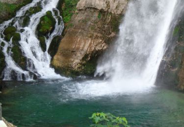
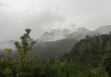
Variante de l'étape 11 Rouge de la Via Alpina. Démarre de la fin de la route carrossable aux chutes de Slavica. (Bus depuis Bohinj)
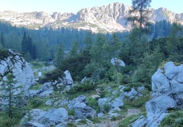
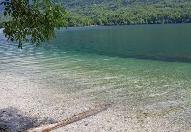
Belle montée jusqu'au refuge Don na Komni puis parcours valloné jusqu'aux lacs. Balisé généralement "7 J".
Te voet
Stappen
Stappen
Stappen

Stappen
Stappen
Stappen
Stappen


sport