Tocht Stappen Γέφυρα - Monenvasia  - Photo
 Lobin
Lobin

Gebruiker

© OpenStreetMap contributors
Lengte
Lengte
4,3 km
Max. hoogte
Max. hoogte
170 m
Positief hoogteverschil
150 m
Km-Effort
Km-Effort  
6,4 km
Min. hoogte
Min. hoogte
-2 m
Negatief hoogteverschil
182 m
Boucle
Boucle
Neen
Datum van aanmaak :
2019-07-28 06:06:56.0
Laatste wijziging :
2019-07-30 05:40:57.66

(0 Bericht)

Stappen
Stappen
1h31
Moeilijkheid : Moeilijk

Scan deze QR-code om de tocht te openen in de SityTrail-applicatie

Gratisgps-wandelapplicatie

Logo SityTrail SityTrail

IGN / Geografische instituten

SityTrail uit de App Store downloaden SityTrail uit Google Play downloaden

Logo SityTrail SityTrail World

De wereld gaat voor u open

SityTrail uit de App Store downloaden SityTrail uit Google Play downloaden SityTrail op Huawei AppGallery downloaden

Over ons

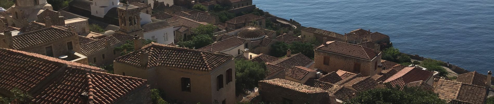
Tocht Stappen van 4,3 km beschikbaar op Peloponnesos, West-Griekenland en Ionische Eilanden, Laconië. Deze tocht wordt voorgesteld door Lobin.

Beschrijving

Belle balade à faire le matin tôt pour éviter les grosses chaleurs d’été

Hoogteprofiel

Foto's

Plaatsbepaling

Land:
Greece
Regio :
Peloponnesos, West-Griekenland en Ionische Eilanden
Departement/Provincie :
Laconië
Gemeente :
Γέφυρα
Locatie:
Unknown
Vertrek:(Dec)
Vertrek:(UTM)
683579 ; 4062095 (34S) N.

Wandeltochten in de omgeving

Tocht Te voet  - Hiking around Monemvasia (Route P2) - Photo
Te voet
GUIDE+

Te voet

Gemakkelijk
, Peloponnesos, West-Griekenland en Ionische Eilanden, Laconië, Greece
7,7 km | 12,5 km-effort
2h 50min
Neen


Sluiten
Mijn abonnementen