![](/images/other/stat-length.png)
![Tocht Stappen Aulon - L''Arbizon - Aulon - Photo](https://media.geolcdn.com/t/1900/400/ext.pjpeg?maxdim=2&url=https%3A%2F%2Fservices.sitytrail.com%2FGeolivesWS%2FDownloadMedia.ashx%3FTrailID%3D215294%26Media%3D15811_6.jpg)
L''Arbizon - Aulon
tracegps
Gebruiker
![Lengte](/images/other/stat-length.png)
![Max. hoogte](https://static1.geolcdn.com/siteimages/upload/files/1508320355ic_sort_altitude_max_24dp.png)
![Positief hoogteverschil](https://static1.geolcdn.com/siteimages/upload/files/1508320355ic_sort_den_pos_24dp.png)
![Km-Effort](/images/other/stat-length.png)
![Min. hoogte](https://static1.geolcdn.com/siteimages/upload/files/1508320355ic_sort_altitude_min_24dp.png)
![Negatief hoogteverschil](https://static1.geolcdn.com/siteimages/upload/files/1508320355ic_sort_den_neg_24dp.png)
![Boucle](https://static1.geolcdn.com/siteimages/upload/files/16400158638029165_repeat_loop_refresh_sync_direction_icon.png)
![Stappen](https://static1.geolcdn.com/sitytour/trail-icons/101.png)
7h00
Moeilijkheid : Zeer moeilijk
![Scan deze QR-code om de tocht te openen in de SityTrail-applicatie](https://capi.geolives.com/qq0zvz2zws4bq2lad0pu/sitytour/trails/215294/qr.png?size=200)
Gratisgps-wandelapplicatie
Over ons
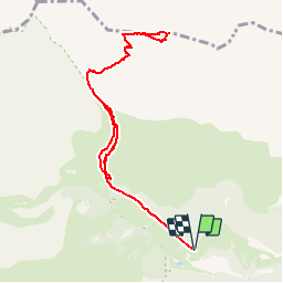
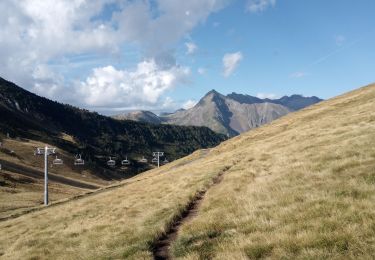
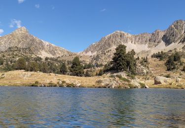
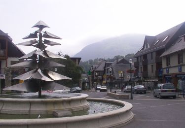
Tocht Stappen van 10,1 km beschikbaar op Occitanië, Hautes-Pyrénées, Aulon. Deze tocht wordt voorgesteld door tracegps.
Beschrijving
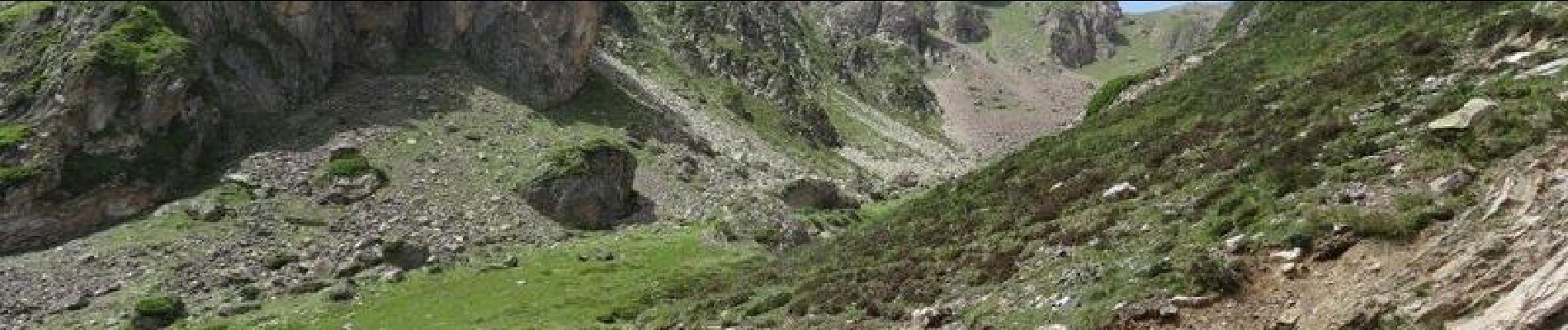
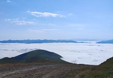
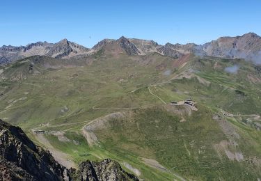
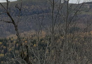
Départ des granges de Lurgues au-dessus d'Aulon en Vallée d'Aure. Le sentier à suivre n'est pas balisé mais de nombreux cairns le jalonnent. Deux cheminées à passer où pour la première il faut s'aider des mains. Après, un immense pierrier conduit à la brèche d'Aurey. De là suivre en contrebas la crête pour aboutir au sommet à 2831 m. Immense panorama à 360°.
Plaatsbepaling
Opmerkingen
Wandeltochten in de omgeving
![Tocht Stappen Saint-Lary-Soulan - 2011-08-03 15h51m06 - Photo](https://media.geolcdn.com/t/375/260/ext.jpg?maxdim=2&url=https%3A%2F%2Fservices.sitytrail.com%2FGeolivesWS%2FDownloadMedia.ashx%3FTrailID%3D70666%26Media%3D20110803154635.jpeg)
![Stappen Stappen](https://static1.geolcdn.com/sitytour/trail-icons/101.png)
Stappen
![](/images/other/stat-length.png)
![](https://static1.geolcdn.com/siteimages/upload/files/16400158638029165_repeat_loop_refresh_sync_direction_icon.png)
![Tocht Stappen Saint-Lary-Soulan - refuge de bastan et lacs - Photo](https://media.geolcdn.com/t/375/260/39cee356-b9bc-4599-b9dd-36b8ef943f1a.jpg&format=jpg&maxdim=2)
![Stappen Stappen](https://static1.geolcdn.com/sitytour/trail-icons/101.png)
Stappen
![](/images/other/stat-length.png)
![](https://static1.geolcdn.com/siteimages/upload/files/16400158638029165_repeat_loop_refresh_sync_direction_icon.png)
![Tocht Stappen Saint-Lary-Soulan - Pène-Male par les crêtes de Heche-Barrade - Photo](https://media.geolcdn.com/t/375/260/de632eea-ef64-4a92-92e4-bd24316e8942.jpg&format=jpg&maxdim=2)
![Stappen Stappen](https://static1.geolcdn.com/sitytour/trail-icons/101.png)
Stappen
![](/images/other/stat-length.png)
![](https://static1.geolcdn.com/siteimages/upload/files/16400158638029165_repeat_loop_refresh_sync_direction_icon.png)
![Tocht Stappen Saint-Lary-Soulan - 2023-09-11 Col du Portet - Lac de l'Oule - Refuge de Bastan - Photo](https://media.geolcdn.com/t/375/260/063df153-8983-4dce-b8b6-891d73f87363.jpg&format=jpg&maxdim=2)
![Stappen Stappen](https://static1.geolcdn.com/sitytour/trail-icons/101.png)
Stappen
![](/images/other/stat-length.png)
![](https://static1.geolcdn.com/siteimages/upload/files/16400158638029165_repeat_loop_refresh_sync_direction_icon.png)
![Tocht Stappen Saint-Lary-Soulan - Col Portet➡️ lac Bastan - Photo](https://media.geolcdn.com/t/375/260/8dd696dc-0c4b-408a-989a-cb4edb7898d5.jpg&format=jpg&maxdim=2)
![Stappen Stappen](https://static1.geolcdn.com/sitytour/trail-icons/101.png)
Stappen
![](/images/other/stat-length.png)
![](https://static1.geolcdn.com/siteimages/upload/files/16400158638029165_repeat_loop_refresh_sync_direction_icon.png)
![Tocht Stappen Saint-Lary-Soulan - AZET : Pla d’Ourtigué en boucle - Photo](https://media.geolcdn.com/t/375/260/61d95884-b483-4a11-b2a1-350e3c3e812e.jpg&format=jpg&maxdim=2)
![Stappen Stappen](https://static1.geolcdn.com/sitytour/trail-icons/101.png)
Stappen
![](/images/other/stat-length.png)
![](https://static1.geolcdn.com/siteimages/upload/files/16400158638029165_repeat_loop_refresh_sync_direction_icon.png)
![Tocht Stappen Saint-Lary-Soulan - Vieille Aure-Trachère - Photo](https://media.geolcdn.com/t/375/260/939f9075-2a66-47f6-ada4-2a25ac95fa43.jpg&format=jpg&maxdim=2)
![Stappen Stappen](https://static1.geolcdn.com/sitytour/trail-icons/101.png)
Stappen
![](/images/other/stat-length.png)
![](https://static1.geolcdn.com/siteimages/upload/files/16400158638029165_repeat_loop_refresh_sync_direction_icon.png)
![Tocht Te voet Saint-Lary-Soulan - Boucle de Caneilles - Photo](https://media.geolcdn.com/t/375/260/0b78c8a6-531b-4e32-888c-f6bec383597c.jpeg&format=jpg&maxdim=2)
![Te voet Te voet](https://static1.geolcdn.com/sitytour/trail-icons/100.png)
Te voet
![](/images/other/stat-length.png)
![](https://static1.geolcdn.com/siteimages/upload/files/16400158638029165_repeat_loop_refresh_sync_direction_icon.png)
![Tocht Stappen Saint-Lary-Soulan - Soulan - les granges de Lias - Soulan - Photo](https://media.geolcdn.com/t/375/260/3bbe5244-bcfa-48ac-8df8-d0cf387d682b.jpg&format=jpg&maxdim=2)
![Stappen Stappen](https://static1.geolcdn.com/sitytour/trail-icons/101.png)
Stappen
![](/images/other/stat-length.png)
![](https://static1.geolcdn.com/siteimages/upload/files/16400158638029165_repeat_loop_refresh_sync_direction_icon.png)