![](/images/other/stat-length.png)
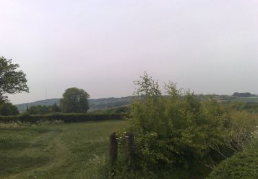
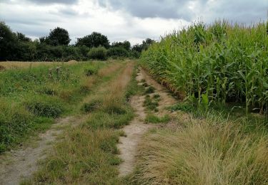
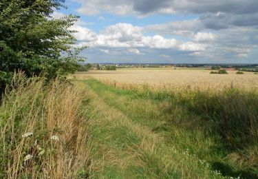
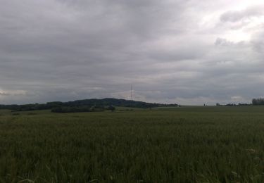
![Tocht Mountainbike Hazebroek - Ronde des clochers - Hazebrouck - Photo](https://media.geolcdn.com/t/1900/400/ext.pjpeg?maxdim=2&url=https%3A%2F%2Fservices.sitytrail.com%2FGeolivesWS%2FDownloadMedia.ashx%3FTrailID%3D215173%26Media%3D15776_6.jpg)
Ronde des clochers - Hazebrouck
tracegps
Gebruiker
![Lengte](/images/other/stat-length.png)
Lengte
49 km
![Max. hoogte](https://static1.geolcdn.com/siteimages/upload/files/1508320355ic_sort_altitude_max_24dp.png)
Max. hoogte
77 m
![Positief hoogteverschil](https://static1.geolcdn.com/siteimages/upload/files/1508320355ic_sort_den_pos_24dp.png)
Positief hoogteverschil
443 m
![Km-Effort](/images/other/stat-length.png)
Km-Effort
55 km
![Min. hoogte](https://static1.geolcdn.com/siteimages/upload/files/1508320355ic_sort_altitude_min_24dp.png)
Min. hoogte
18 m
![Negatief hoogteverschil](https://static1.geolcdn.com/siteimages/upload/files/1508320355ic_sort_den_neg_24dp.png)
Negatief hoogteverschil
443 m
![Boucle](https://static1.geolcdn.com/siteimages/upload/files/16400158638029165_repeat_loop_refresh_sync_direction_icon.png)
Boucle
Ja
Datum van aanmaak :
2014-12-10 00:00:00.0
Laatste wijziging :
2014-12-10 00:00:00.0
![Mountainbike](https://static1.geolcdn.com/sitytour/trail-icons/202.png)
2h30
Moeilijkheid : Medium
![Scan deze QR-code om de tocht te openen in de SityTrail-applicatie](https://capi.geolives.com/qq0zvz2zws4bq2lad0pu/sitytour/trails/215173/qr.png?size=200)
Gratisgps-wandelapplicatie
Over ons
Tocht Mountainbike van 49 km beschikbaar op Hauts-de-France, Noorderdepartement, Hazebroek. Deze tocht wordt voorgesteld door tracegps.
Beschrijving
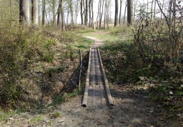
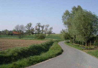
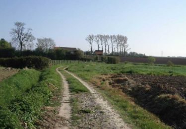
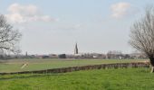
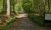
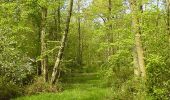
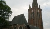
Trace de la Rando des Clochers avec quelques modifs. Pas de difficulté particulière. Merci au club cyclo d'Hazebrouck à l'origine de la rando.
Plaatsbepaling
Land:
France
Regio :
Hauts-de-France
Departement/Provincie :
Noorderdepartement
Gemeente :
Hazebroek
Locatie:
Unknown
Vertrek:(Dec)
Vertrek:(UTM)
467883 ; 5618864 (31U) N.
Opmerkingen
Wandeltochten in de omgeving
![Tocht Stappen Moerbeke - Sentier des 3 bois (11,5 Km) - Morbecque - Photo](https://media.geolcdn.com/t/375/260/ext.jpg?maxdim=2&url=https%3A%2F%2Fservices.sitytrail.com%2FGeolivesWS%2FDownloadMedia.ashx%3FTrailID%3D215245%26Media%3D15869_5.jpg)
![Stappen Stappen](https://static1.geolcdn.com/sitytour/trail-icons/101.png)
Sentier des 3 bois (11,5 Km) - Morbecque
Stappen
Medium
(1)
Moerbeke,
Hauts-de-France,
Noorderdepartement,
France
![](/images/other/stat-length.png)
11,5 km | 13,4 km-effort
3h 0min
![](https://static1.geolcdn.com/siteimages/upload/files/16400158638029165_repeat_loop_refresh_sync_direction_icon.png)
Ja
![Tocht Mountainbike Hazebroek - De Hazebrouck au Mont des Cats - Photo](https://media.geolcdn.com/t/375/260/ext.jpg?maxdim=2&url=https%3A%2F%2Fservices.sitytrail.com%2FGeolivesWS%2FDownloadMedia.ashx%3FTrailID%3D129697%26Media%3D13234_3.jpg)
![Mountainbike Mountainbike](https://static1.geolcdn.com/sitytour/trail-icons/202.png)
De Hazebrouck au Mont des Cats
Mountainbike
Moeilijk
(1)
Hazebroek,
Hauts-de-France,
Noorderdepartement,
France
![](/images/other/stat-length.png)
54 km | 61 km-effort
2h 30min
![](https://static1.geolcdn.com/siteimages/upload/files/16400158638029165_repeat_loop_refresh_sync_direction_icon.png)
Ja
![Tocht Trail Hazebroek - 12 km Hazebrouck nature - Photo](https://media.geolcdn.com/t/375/260/829fb378-5591-4b49-ad45-adafc83404c4.jpg&format=jpg&maxdim=2)
![Trail Trail](https://static1.geolcdn.com/sitytour/trail-icons/104.png)
12 km Hazebrouck nature
Trail
Heel gemakkelijk
Hazebroek,
Hauts-de-France,
Noorderdepartement,
France
![](/images/other/stat-length.png)
12,1 km | 13 km-effort
1h 56min
![](https://static1.geolcdn.com/siteimages/upload/files/16400158638029165_repeat_loop_refresh_sync_direction_icon.png)
Ja
![Tocht Fiets Moerbeke - Le circuit des Oratoires - Morbecque - Photo](https://media.geolcdn.com/t/375/260/ext.jpg?maxdim=2&url=https%3A%2F%2Fservices.sitytrail.com%2FGeolivesWS%2FDownloadMedia.ashx%3FTrailID%3D215247%26Media%3D15871_6.jpg)
![Fiets Fiets](https://static1.geolcdn.com/sitytour/trail-icons/200.png)
Le circuit des Oratoires - Morbecque
Fiets
Medium
Moerbeke,
Hauts-de-France,
Noorderdepartement,
France
![](/images/other/stat-length.png)
16,9 km | 18,9 km-effort
1h 30min
![](https://static1.geolcdn.com/siteimages/upload/files/16400158638029165_repeat_loop_refresh_sync_direction_icon.png)
Ja
![Tocht Stappen Moerbeke - Sentier des 3 bois (14,5 Km) - Morbecque - Photo](https://media.geolcdn.com/t/375/260/ext.jpg?maxdim=2&url=https%3A%2F%2Fservices.sitytrail.com%2FGeolivesWS%2FDownloadMedia.ashx%3FTrailID%3D215244%26Media%3D15868_5.jpg)
![Stappen Stappen](https://static1.geolcdn.com/sitytour/trail-icons/101.png)
Sentier des 3 bois (14,5 Km) - Morbecque
Stappen
Moeilijk
Moerbeke,
Hauts-de-France,
Noorderdepartement,
France
![](/images/other/stat-length.png)
14,6 km | 16,8 km-effort
3h 45min
![](https://static1.geolcdn.com/siteimages/upload/files/16400158638029165_repeat_loop_refresh_sync_direction_icon.png)
Ja
![Tocht Mountainbike Hazebroek - Autour du Bois Greffier à Flêtre - Photo](https://media.geolcdn.com/t/375/260/ext.jpg?maxdim=2&url=https%3A%2F%2Fservices.sitytrail.com%2FGeolivesWS%2FDownloadMedia.ashx%3FTrailID%3D172313%26Media%3D13634_6.jpg)
![Mountainbike Mountainbike](https://static1.geolcdn.com/sitytour/trail-icons/202.png)
Autour du Bois Greffier à Flêtre
Mountainbike
Medium
Hazebroek,
Hauts-de-France,
Noorderdepartement,
France
![](/images/other/stat-length.png)
40 km | 44 km-effort
2h 0min
![](https://static1.geolcdn.com/siteimages/upload/files/16400158638029165_repeat_loop_refresh_sync_direction_icon.png)
Ja
![Tocht Mountainbike Hazebroek - Forêt de Nieppe - Hazebrouck - Photo](https://media.geolcdn.com/t/375/260/ext.jpg?maxdim=2&url=https%3A%2F%2Fservices.sitytrail.com%2FGeolivesWS%2FDownloadMedia.ashx%3FTrailID%3D129687%26Media%3D13219_3.jpg)
![Mountainbike Mountainbike](https://static1.geolcdn.com/sitytour/trail-icons/202.png)
Forêt de Nieppe - Hazebrouck
Mountainbike
Medium
(1)
Hazebroek,
Hauts-de-France,
Noorderdepartement,
France
![](/images/other/stat-length.png)
41 km | 44 km-effort
2h 0min
![](https://static1.geolcdn.com/siteimages/upload/files/16400158638029165_repeat_loop_refresh_sync_direction_icon.png)
Ja
![Tocht Mountainbike Kaaster - Du Gibet au Paradis - Caëstre - Photo](https://media.geolcdn.com/t/375/260/ext.jpg?maxdim=2&url=https%3A%2F%2Fservices.sitytrail.com%2FGeolivesWS%2FDownloadMedia.ashx%3FTrailID%3D110106%26Media%3D5284_2.jpg)
![Mountainbike Mountainbike](https://static1.geolcdn.com/sitytour/trail-icons/202.png)
Du Gibet au Paradis - Caëstre
Mountainbike
Gemakkelijk
Kaaster,
Hauts-de-France,
Noorderdepartement,
France
![](/images/other/stat-length.png)
11,4 km | 12,6 km-effort
1h 0min
![](https://static1.geolcdn.com/siteimages/upload/files/16400158638029165_repeat_loop_refresh_sync_direction_icon.png)
Ja
![Tocht Stappen Kaaster - Du Gibet au Paradis - Caëstre - Photo](https://media.geolcdn.com/t/375/260/ext.jpg?maxdim=2&url=https%3A%2F%2Fservices.sitytrail.com%2FGeolivesWS%2FDownloadMedia.ashx%3FTrailID%3D110105%26Media%3D5284_6.jpg)
![Stappen Stappen](https://static1.geolcdn.com/sitytour/trail-icons/101.png)
Du Gibet au Paradis - Caëstre
Stappen
Medium
Kaaster,
Hauts-de-France,
Noorderdepartement,
France
![](/images/other/stat-length.png)
11,4 km | 12,6 km-effort
2h 55min
![](https://static1.geolcdn.com/siteimages/upload/files/16400158638029165_repeat_loop_refresh_sync_direction_icon.png)
Ja