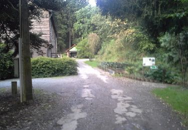
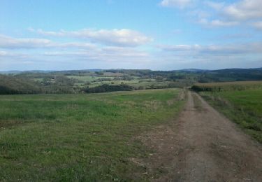
Tocht Mountainbike Érezée - Camping Le Val de l'Aisne - Photo

Camping Le Val de l'Aisne

 RHMBuitensport
RHMBuitensport

Gebruiker

© OpenStreetMap contributors
Lengte
Lengte
7,5 km
Max. hoogte
Max. hoogte
355 m
Positief hoogteverschil
178 m
Km-Effort
Km-Effort  
9,9 km
Min. hoogte
Min. hoogte
247 m
Negatief hoogteverschil
179 m
Boucle
Boucle
Ja
Datum van aanmaak :
2019-07-26 11:46:07.279
Laatste wijziging :
2019-07-26 14:42:08.482

(0 Bericht)

Mountainbike
Mountainbike
38m
Moeilijkheid : Gemakkelijk

Scan deze QR-code om de tocht te openen in de SityTrail-applicatie

Gratisgps-wandelapplicatie

Logo SityTrail SityTrail

IGN / Geografische instituten

SityTrail uit de App Store downloaden SityTrail uit Google Play downloaden

Logo SityTrail SityTrail World

De wereld gaat voor u open

SityTrail uit de App Store downloaden SityTrail uit Google Play downloaden SityTrail op Huawei AppGallery downloaden

Over ons

Tocht Mountainbike van 7,5 km beschikbaar op Wallonië, Luxemburg, Érezée. Deze tocht wordt voorgesteld door RHMBuitensport.

Beschrijving

Test

Hoogteprofiel

Plaatsbepaling

Land:
Belgium
Regio :
Wallonië
Departement/Provincie :
Luxemburg
Gemeente :
Érezée
Locatie:
Amonines
Vertrek:(UTM)
681420 ; 5572821 (31U) N.

Wandeltochten in de omgeving

Tocht Stappen Manhay - Erezée - Circuit Natura 2000
Stappen
GUIDE+

Stappen

Medium
(7)
Manhay, Wallonië, Luxemburg, Belgium
8,3 km | 11,9 km-effort
2h 30min
Neen
Tocht Stappen Érezée - RB-Lu-02- Raccourci -  Entre Aisne et Ourthe, en s’attardant dans le vallon du ruisseau de Lisbelle - Photo
Stappen
PRO

Stappen

Gemakkelijk
(6)
Érezée, Wallonië, Luxemburg, Belgium
16,8 km | 22 km-effort
6h 2min
Ja
Tocht Stappen Érezée - RB-Lu-02- Entre Aisne et Ourthe, en s’attardant dans le vallon du ruisseau de Lisbelle - Photo
Stappen
PRO

Stappen

Moeilijk
(4)
Érezée, Wallonië, Luxemburg, Belgium
25 km | 33 km-effort
6h 42min
Ja
Tocht Stappen Érezée - rando amonines 26/10/2020 - Photo
Stappen
GUIDE
japy54

Stappen

Medium
(1)
Érezée, Wallonië, Luxemburg, Belgium
13,3 km | 18 km-effort
3h 2min
Ja
Tocht Stappen Érezée - Papillon de Fanzel-12 - Photo
Stappen
mordant.ben@gmail.com

Stappen

Moeilijk
(1)
Érezée, Wallonië, Luxemburg, Belgium
11,9 km | 17,5 km-effort
3h 39min
Ja
Tocht Stappen Rendeux - promenade de lourthe - Photo
Stappen
bartdeleeuw

Stappen

Moeilijk
(3)
Rendeux, Wallonië, Luxemburg, Belgium
8,1 km | 11 km-effort
2h 35min
Ja
Tocht Stappen Hotton - De werpin a werpin via Trinal - Photo
Stappen
nico_be

Stappen

Gemakkelijk
(1)
Hotton, Wallonië, Luxemburg, Belgium
9,3 km | 12,4 km-effort
2h 38min
Ja
Tocht Mountainbike Manhay - O2bikers_142_dochamps - Photo
Mountainbike
GUIDE+

Mountainbike

Heel gemakkelijk
(5)
Manhay, Wallonië, Luxemburg, Belgium
37 km | 50 km-effort
Onbekend
Ja
Tocht Stappen Érezée - Dans les bois de Petit et Grandhan - Photo
Stappen
Boxbonne

Stappen

Gemakkelijk
(1)
Érezée, Wallonië, Luxemburg, Belgium
14,1 km | 16,2 km-effort
3h 40min
Ja


Sluiten
Mijn abonnementen