


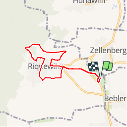

17,1 km | 25 km-effort

Gebruiker


Gratisgps-wandelapplicatie
 SityTrail
IGN / Geografische instituten
SityTrail World
De wereld gaat voor u open
Tocht Stappen van 7 km beschikbaar op Grand Est, Haut-Rhin, Riquewihr. Deze tocht wordt voorgesteld door tracegps.
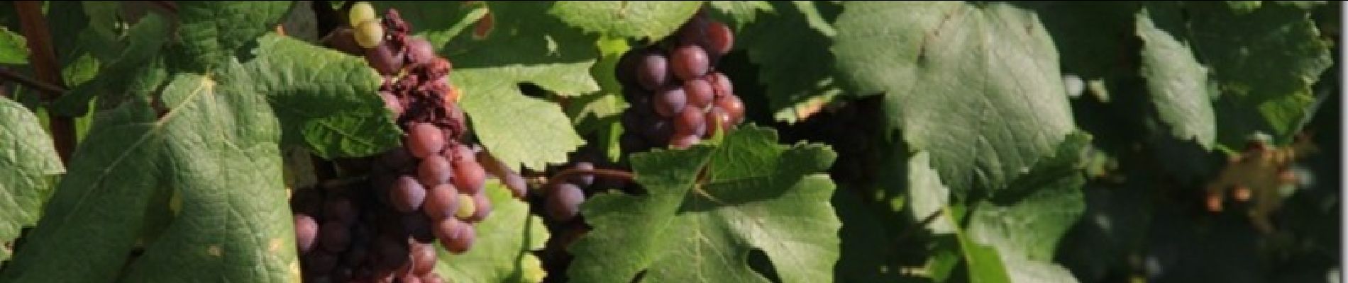
Une balade entre vignes et beaux villages typiquement alsacien. Vous pourrez admirer le village de Riquewihr en prenant de l'altitude vers les coteaux de vignes. A faire de préférence au moment des vendanges pour pouvoir goûter le vin nouveau.


Stappen

Mountainbike

Stappen
Stappen

Stappen

Paardrijden

Stappen

Paardrijden

Stappen