![](/images/other/stat-length.png)
![Tocht Stappen Aubermesnil-aux-Érables - Circuit de la Quesnoye (N° 12) - Aubermesnil aux Erables - Photo](https://media.geolcdn.com/t/1900/400/ext.pjpeg?maxdim=2&url=https%3A%2F%2Fservices.sitytrail.com%2FGeolivesWS%2FDownloadMedia.ashx%3FTrailID%3D214984%26Media%3D15549_5.jpg)
Circuit de la Quesnoye (N° 12) - Aubermesnil aux Erables
tracegps
Gebruiker
![Lengte](/images/other/stat-length.png)
![Max. hoogte](https://static1.geolcdn.com/siteimages/upload/files/1508320355ic_sort_altitude_max_24dp.png)
![Positief hoogteverschil](https://static1.geolcdn.com/siteimages/upload/files/1508320355ic_sort_den_pos_24dp.png)
![Km-Effort](/images/other/stat-length.png)
![Min. hoogte](https://static1.geolcdn.com/siteimages/upload/files/1508320355ic_sort_altitude_min_24dp.png)
![Negatief hoogteverschil](https://static1.geolcdn.com/siteimages/upload/files/1508320355ic_sort_den_neg_24dp.png)
![Boucle](https://static1.geolcdn.com/siteimages/upload/files/16400158638029165_repeat_loop_refresh_sync_direction_icon.png)
![Stappen](https://static1.geolcdn.com/sitytour/trail-icons/101.png)
1h10
Moeilijkheid : Gemakkelijk
![Scan deze QR-code om de tocht te openen in de SityTrail-applicatie](https://capi.geolives.com/qq0zvz2zws4bq2lad0pu/sitytour/trails/214984/qr.png?size=200)
Gratisgps-wandelapplicatie
Over ons
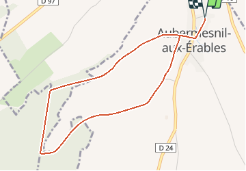
Tocht Stappen van 4,4 km beschikbaar op Normandië, Seine-Maritime, Aubermesnil-aux-Érables. Deze tocht wordt voorgesteld door tracegps.
Beschrijving
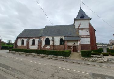
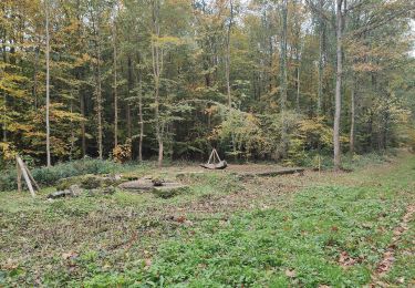
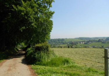
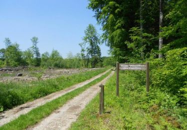
Circuit proposé par l'Office de Tourisme de Blangy sur Bresle. Au départ de l'église d'Aubermesnil aux Erables, direction par le sud pour prendre, au croisement avec la D24, le chemin en face pour rejoindre la forêt. Prendre 2 fois à gauche pour passer par le hameau de Langlet et redescendre par la route vers le village. Un peu avant de le rejoindre, prendre un chemin verdoyant qui longe l’arrière du village, on rattrape le chemin du départ que l'on prend à droite pour rejoindre l'église. Retrouvez le plan de l'ensemble des circuits sur le site de l'Office de Tourisme de Blangy sur Bresle.
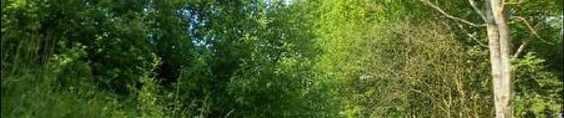
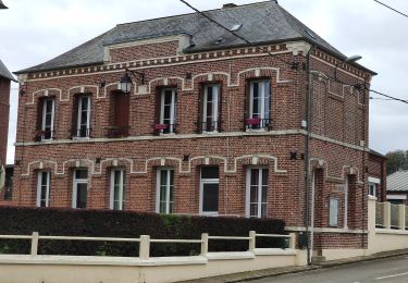
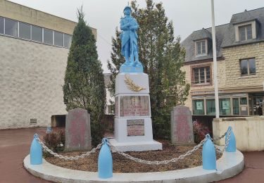
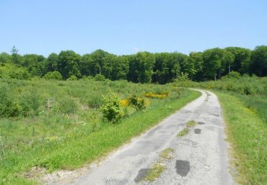
Plaatsbepaling
Opmerkingen
Wandeltochten in de omgeving
![Tocht Te voet Le Caule-Sainte-Beuve - Circuit du Mont Gournoy - Photo](https://media.geolcdn.com/t/375/260/5ed25034-e342-4301-8c95-ce51f3698c88.jpeg&format=jpg&maxdim=2)
![Te voet Te voet](https://static1.geolcdn.com/sitytour/trail-icons/100.png)
Te voet
![](/images/other/stat-length.png)
![](https://static1.geolcdn.com/siteimages/upload/files/16400158638029165_repeat_loop_refresh_sync_direction_icon.png)
![Tocht Te voet Foucarmont - Circuit du Moulin à Vent - Photo](https://media.geolcdn.com/t/375/260/f000094b-d065-4eb1-9da6-17f2a5ffd7da.jpeg&format=jpg&maxdim=2)
![Te voet Te voet](https://static1.geolcdn.com/sitytour/trail-icons/100.png)
Te voet
![](/images/other/stat-length.png)
![](https://static1.geolcdn.com/siteimages/upload/files/16400158638029165_repeat_loop_refresh_sync_direction_icon.png)
![Tocht Te voet Rétonval - Circuit de la Tour Mailly - Photo](https://media.geolcdn.com/t/375/260/195dc9a2-d61b-4306-b16a-fe5b33e2f47e.jpeg&format=jpg&maxdim=2)
![Te voet Te voet](https://static1.geolcdn.com/sitytour/trail-icons/100.png)
Te voet
![](/images/other/stat-length.png)
![](https://static1.geolcdn.com/siteimages/upload/files/16400158638029165_repeat_loop_refresh_sync_direction_icon.png)
![Tocht Te voet Rétonval - Circuit du Prêtre - Photo](https://media.geolcdn.com/t/375/260/195dc9a2-d61b-4306-b16a-fe5b33e2f47e.jpeg&format=jpg&maxdim=2)
![Te voet Te voet](https://static1.geolcdn.com/sitytour/trail-icons/100.png)
Te voet
![](/images/other/stat-length.png)
![](https://static1.geolcdn.com/siteimages/upload/files/16400158638029165_repeat_loop_refresh_sync_direction_icon.png)
![Tocht Te voet Saint-Léger-aux-Bois - La Bienfaisance - Photo](https://media.geolcdn.com/t/375/260/90f86342-6c4d-40e7-bfeb-79662cc331d6.jpeg&format=jpg&maxdim=2)
![Te voet Te voet](https://static1.geolcdn.com/sitytour/trail-icons/100.png)
Te voet
![](/images/other/stat-length.png)
![](https://static1.geolcdn.com/siteimages/upload/files/16400158638029165_repeat_loop_refresh_sync_direction_icon.png)
![Tocht Paard Rétonval - Circuit du Mont Gournoy (N°15) - Rétonval - Photo](https://media.geolcdn.com/t/375/260/ext.jpg?maxdim=2&url=https%3A%2F%2Fservices.sitytrail.com%2FGeolivesWS%2FDownloadMedia.ashx%3FTrailID%3D215045%26Media%3D15613_1.jpg)
![Paard Paard](https://static1.geolcdn.com/sitytour/trail-icons/300.png)
Paard
![](/images/other/stat-length.png)
![](https://static1.geolcdn.com/siteimages/upload/files/16400158638029165_repeat_loop_refresh_sync_direction_icon.png)
![Tocht Mountainbike Rétonval - Circuit du Mont Gournoy (N°15) - Rétonval - Photo](https://media.geolcdn.com/t/375/260/ext.jpg?maxdim=2&url=https%3A%2F%2Fservices.sitytrail.com%2FGeolivesWS%2FDownloadMedia.ashx%3FTrailID%3D215044%26Media%3D15613_5.jpg)
![Mountainbike Mountainbike](https://static1.geolcdn.com/sitytour/trail-icons/202.png)
Mountainbike
![](/images/other/stat-length.png)
![](https://static1.geolcdn.com/siteimages/upload/files/16400158638029165_repeat_loop_refresh_sync_direction_icon.png)
![Tocht Stappen Rétonval - Circuit du Mont Gournoy (N°15) - Rétonval - Photo](https://media.geolcdn.com/t/375/260/ext.jpg?maxdim=2&url=https%3A%2F%2Fservices.sitytrail.com%2FGeolivesWS%2FDownloadMedia.ashx%3FTrailID%3D215043%26Media%3D15613_5.jpg)
![Stappen Stappen](https://static1.geolcdn.com/sitytour/trail-icons/101.png)
Stappen
![](/images/other/stat-length.png)
![](https://static1.geolcdn.com/siteimages/upload/files/16400158638029165_repeat_loop_refresh_sync_direction_icon.png)
![Tocht Paard Rétonval - Circuit du prêtre (N° 14) - Rétonval - Photo](https://media.geolcdn.com/t/375/260/ext.jpg?maxdim=2&url=https%3A%2F%2Fservices.sitytrail.com%2FGeolivesWS%2FDownloadMedia.ashx%3FTrailID%3D215031%26Media%3D15597_5.jpg)
![Paard Paard](https://static1.geolcdn.com/sitytour/trail-icons/300.png)
Paard
![](/images/other/stat-length.png)
![](https://static1.geolcdn.com/siteimages/upload/files/16400158638029165_repeat_loop_refresh_sync_direction_icon.png)