


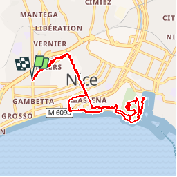


7,9 km | 10,3 km-effort

Gebruiker


Gratisgps-wandelapplicatie
 SityTrail
IGN / Geografische instituten
SityTrail World
De wereld gaat voor u open
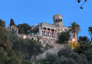
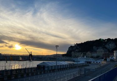
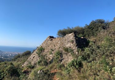
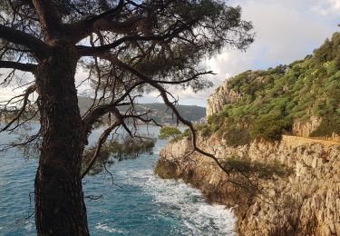
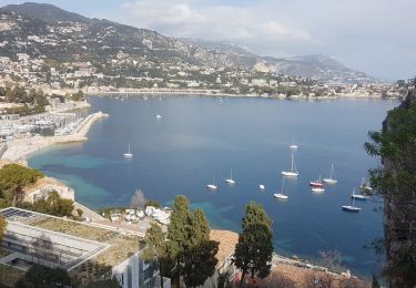
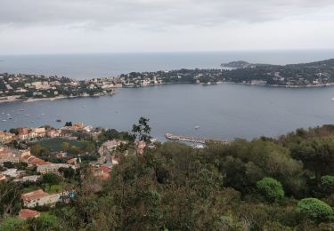
Tocht Te voet van 10,7 km beschikbaar op Provence-Alpes-Côte d'Azur, Alpes-Maritimes, Nice. Deze tocht wordt voorgesteld door Axelloceane.
Visite de la vielle ville de Nice ,du parc du Mont Baron avec vue sur la baie des anges et du port et ballade sur la premonade des anglais.


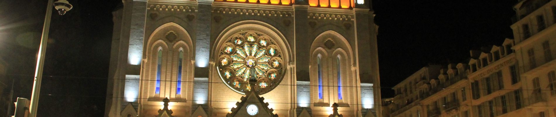
Stappen
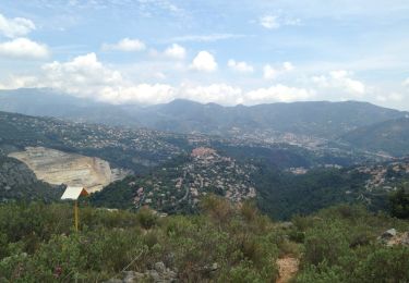
Stappen
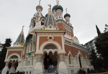
Stappen
Stappen
Stappen
Stappen
Stappen
Stappen
Stappen