


4,8 km | 5,3 km-effort


Gebruiker


Gratisgps-wandelapplicatie
 SityTrail
IGN / Geografische instituten
SityTrail World
De wereld gaat voor u open
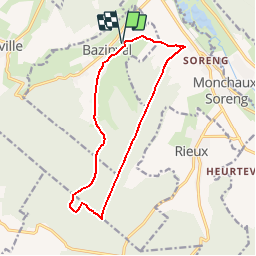
Tocht Paard van 12,4 km beschikbaar op Normandië, Seine-Maritime, Bazinval. Deze tocht wordt voorgesteld door tracegps.
Circuit proposé par l'Office de Tourisme de Blangy sur Bresle. Circuit au départ de l'église de Bazinval. Prendre la direction du cimetère pour partir à gauche dans la rue de Saulx. Au croisement en Y, 300M avant la forêt, prendre à gauche la route du fond Betnod. Après 2 km de forêt, prendre sur la gauche, un chemin montant à travers les arbres que l'on peut facilement ne pas voir. En arrivant à la limite de la parcelle 415, prendre à gauche, puis à droite pour rejoindre le Pylone de la Mare Pavée. 100 m plus loin prendre à gauche la route de Soreng. Tourner à gauche, avant le village de Soreng, pour rejoindre l'église de Bazinval. Retrouvez le plan de l'ensemble des circuits sur le site de l'Office de Tourisme de Blangy sur Bresle.
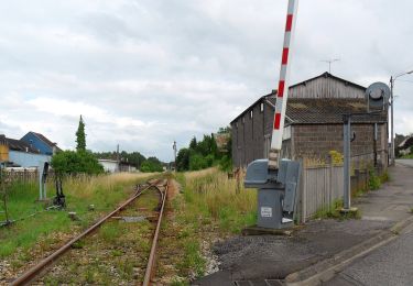
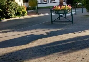
 - Bazinval - Photo 1")
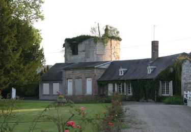
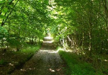
 - Bazinval - Photo 2")
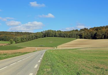
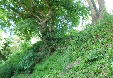
 - Bazinval - Photo 3")
 - Bazinval - Photo 4")
 - Bazinval - Photo 5")
 - Bazinval - Photo 6")
Te voet
Te voet
Te voet

Stappen
Stappen

Paard

Mountainbike
Stappen
Paard