


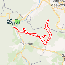


14,7 km | 22 km-effort

Gebruiker

Gratisgps-wandelapplicatie
 SityTrail
IGN / Geografische instituten
SityTrail World
De wereld gaat voor u open
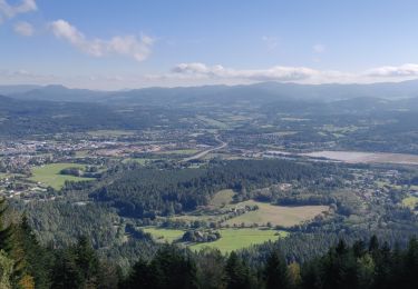
Tocht Stappen van 17,8 km beschikbaar op Grand Est, Vogezen, Taintrux. Deze tocht wordt voorgesteld door 1957.
Rougiville - Climont - Pierre de Laitre - Anozel -Kiosque - Enclume -Anozel -Retour


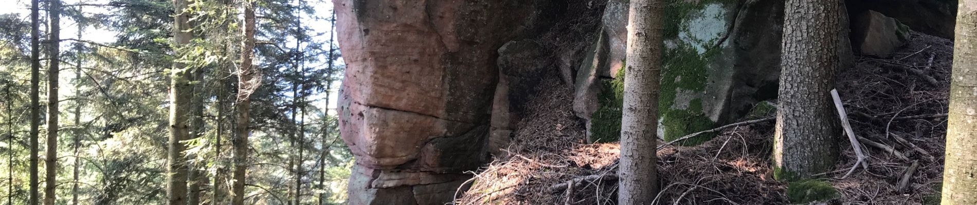
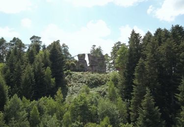
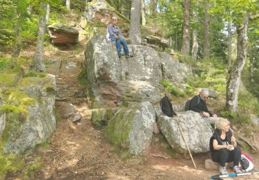
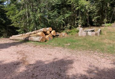
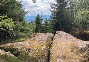
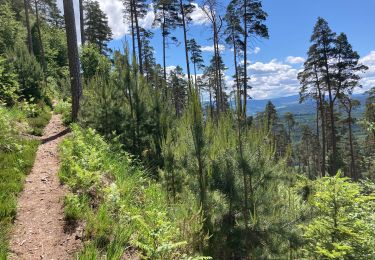
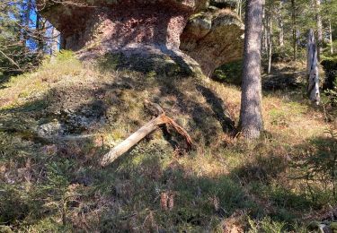
26 fotos in totaal. Klik op een foto om ze allemaal in de galerij weer te geven.

Stappen
Te voet

Stappen
Stappen
Stappen
Stappen
Stappen
Stappen
Stappen