


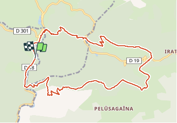

7,9 km | 13,4 km-effort

Gebruiker


Gratisgps-wandelapplicatie
 SityTrail
IGN / Geografische instituten
SityTrail World
De wereld gaat voor u open
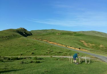
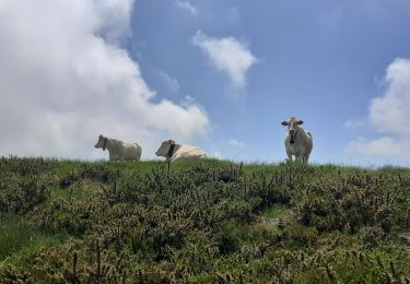
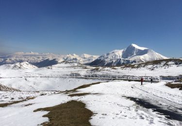
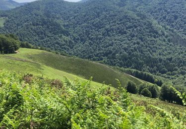
Tocht Stappen van 13,6 km beschikbaar op Nieuw-Aquitanië, Pyrénées-Atlantiques, Lecumberry. Deze tocht wordt voorgesteld door jaja64.
Départ chalet Pedro; montée Petrilarre - col de Mehatzé. Retour col d'Héguichouria, crêtes par GR10, barrage d'Oltzalur.


Stappen

Stappen
Stappen
Stappen
Stappen

Stappen
Stappen
Stappen

Stappen