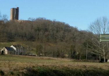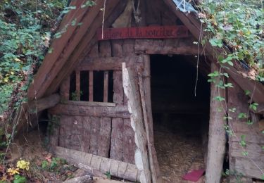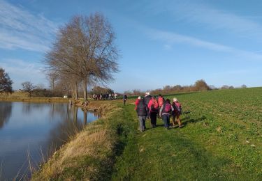

Saint Lezer 2019 - 43 Km

potofe
Gebruiker

Lengte
43 km

Max. hoogte
366 m

Positief hoogteverschil
864 m

Km-Effort
54 km

Min. hoogte
222 m

Negatief hoogteverschil
867 m
Boucle
Ja
Datum van aanmaak :
2019-07-20 08:42:40.0
Laatste wijziging :
2019-07-21 23:53:20.375
3h37
Moeilijkheid : Moeilijk

Gratisgps-wandelapplicatie
Over ons
Tocht Mountainbike van 43 km beschikbaar op Nieuw-Aquitanië, Pyrénées-Atlantiques, Casteide-Doat. Deze tocht wordt voorgesteld door potofe.
Beschrijving
Très belle randonnée, praticable toute l'année.
28/04/2019
Modifié pour départ de Casteide-Doat quelques modifications du parcours.
21/07/2019
Plaatsbepaling
Land:
France
Regio :
Nieuw-Aquitanië
Departement/Provincie :
Pyrénées-Atlantiques
Gemeente :
Casteide-Doat
Locatie:
Unknown
Vertrek:(Dec)
Vertrek:(UTM)
741870 ; 4806763 (30T) N.
Opmerkingen
Wandeltochten in de omgeving

LUCARE / ABERRE GR653A premier tronçon du secteur A 2801487


Stappen
Moeilijk
Bentayou-Sérée,
Nieuw-Aquitanië,
Pyrénées-Atlantiques,
France

11,7 km | 15,2 km-effort
3h 8min
Neen

MONTANER La Milouloise M2 82 ans le 5/02/2020


Te voet
Gemakkelijk
Montaner,
Nieuw-Aquitanië,
Pyrénées-Atlantiques,
France

7 km | 8,7 km-effort
Onbekend
Ja

MONTANER 85 Ans de JC


Stappen
Medium
Montaner,
Nieuw-Aquitanië,
Pyrénées-Atlantiques,
France

6,7 km | 8,9 km-effort
1h 50min
Ja

RS Montaner 2021


Stappen
Gemakkelijk
Montaner,
Nieuw-Aquitanië,
Pyrénées-Atlantiques,
France

4,4 km | 5,8 km-effort
1h 23min
Ja

MN2 Lac du Louet avt travaux


Noords wandelen
Heel gemakkelijk
(1)
Escaunets,
Occitanië,
Hautes-Pyrénées,
France

8,1 km | 9,4 km-effort
Onbekend
Ja

Pontiac RS


Stappen
Heel gemakkelijk
Pontiacq-Viellepinte,
Nieuw-Aquitanië,
Pyrénées-Atlantiques,
France

4,2 km | 4,6 km-effort
1h 53min
Ja

Les coteaux de Saint-Lézer


Mountainbike
Gemakkelijk
Saint-Lézer,
Occitanië,
Hautes-Pyrénées,
France

11,9 km | 14,5 km-effort
1h 0min
Ja

Les coteaux de Saint-Lézer


Stappen
Medium
Saint-Lézer,
Occitanië,
Hautes-Pyrénées,
France

11,9 km | 14,5 km-effort
3h 0min
Ja

Variante GR 101


Te voet
Gemakkelijk
Talazac,
Occitanië,
Hautes-Pyrénées,
France

8,9 km | 11 km-effort
2h 30min
Neen


 SityTrail


