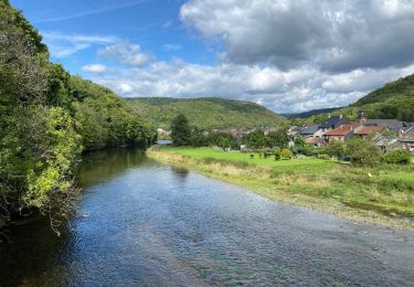
15,3 km | 21 km-effort
repérage espace trail
gursikso
Gebruiker
Lengte
1,6 km
Max. hoogte
305 m
Positief hoogteverschil
15 m
Km-Effort
2,2 km
Min. hoogte
167 m
Negatief hoogteverschil
135 m
Boucle
Neen
Datum van aanmaak :
2019-07-17 09:31:35.555
Laatste wijziging :
2019-07-17 17:11:05.58
37m
Moeilijkheid : Heel gemakkelijk
Gratisgps-wandelapplicatie
Over ons
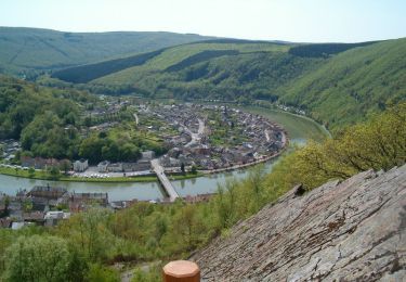
Tocht Trail van 1,6 km beschikbaar op Grand Est, Ardennes, Monthermé. Deze tocht wordt voorgesteld door gursikso.
Plaatsbepaling
Land:
France
Regio :
Grand Est
Departement/Provincie :
Ardennes
Gemeente :
Monthermé
Locatie:
Unknown
Vertrek:(Dec)
Vertrek:(UTM)
627584 ; 5526474 (31U) N.
Opmerkingen
Wandeltochten in de omgeving
De Monthermé à Bogny sur Meuse par les sentiers de crêtes
Stappen
Moeilijk
(2)
Monthermé,
Grand Est,
Ardennes,
France
14,6 km | 23 km-effort
5h 0min
Ja
La promenade du Liry et des Quatre Fils Aymon
Stappen
Medium
(1)
Bogny-sur-Meuse,
Grand Est,
Ardennes,
France
11,4 km | 16,9 km-effort
3h 0min
Ja
Hautes Rivières Roches aux Corpias 24,8
Stappen
Moeilijk
Les Hautes-Rivières,
Grand Est,
Ardennes,
France
25 km | 39 km-effort
8h 34min
Ja
Laifour-Montherme
Stappen
Moeilijk
(1)
Revin,
Grand Est,
Ardennes,
France
21 km | 30 km-effort
8h 8min
Neen
La roche 7H Monthermé
Stappen
Medium
Monthermé,
Grand Est,
Ardennes,
France
5,9 km | 9 km-effort
2h 24min
Ja
les woiries mercredi
Stappen
Medium
Monthermé,
Grand Est,
Ardennes,
France
9,6 km | 12,7 km-effort
3h 37min
Neen
Hautes Rivières Naux retour 13 Km
Stappen
Medium
Les Hautes-Rivières,
Grand Est,
Ardennes,
France
13,7 km | 19,6 km-effort
4h 0min
Ja
Monthermé 22,7 km tour des rochers
Stappen
Moeilijk
Monthermé,
Grand Est,
Ardennes,
France
23 km | 36 km-effort
8h 20min
Ja