21 km | 0 m-effort
tour aigoual
rafde210
Gebruiker
Lengte
58 km
Max. hoogte
1561 m
Positief hoogteverschil
1229 m
Km-Effort
74 km
Min. hoogte
700 m
Negatief hoogteverschil
1233 m
Boucle
Neen
Datum van aanmaak :
2019-07-13 04:57:41.477
Laatste wijziging :
2019-07-13 08:45:05.643
3h05
Moeilijkheid : Medium
Gratisgps-wandelapplicatie
Over ons
Tocht Wegfiets van 58 km beschikbaar op Occitanië, Lozère, Meyrueis. Deze tocht wordt voorgesteld door rafde210.
Beschrijving
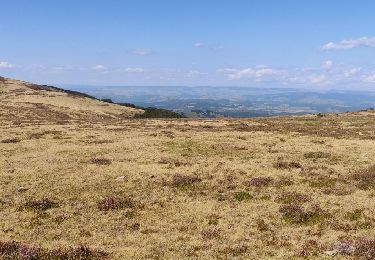
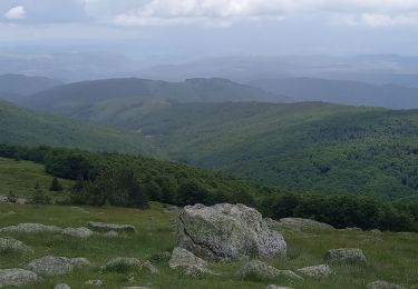
une belle boucle sur l'Aigoual entre Lozère et Gard. attention au vent au sommet !
Plaatsbepaling
Land:
France
Regio :
Occitanië
Departement/Provincie :
Lozère
Gemeente :
Meyrueis
Locatie:
Unknown
Vertrek:(Dec)
Vertrek:(UTM)
534250 ; 4891742 (31T) N.
Opmerkingen
Wandeltochten in de omgeving
Meyrues à observatoire Mont Aigoual
Stappen
Moeilijk
Meyrueis,
Occitanië,
Lozère,
France
5h 58min
Neen
Sentier du Château de Roquedols
Te voet
Gemakkelijk
Meyrueis,
Occitanië,
Lozère,
France
5 km | 6,9 km-effort
1h 33min
Ja
Meyruis L’Esperou 26 km - Tour du mont Aigual étape 3
Stappen
Moeilijk
Meyrueis,
Occitanië,
Lozère,
France
28 km | 41 km-effort
9h 0min
Neen
cause noir mai 2020
Mountainbike
Gemakkelijk
(1)
Meyrueis,
Occitanië,
Lozère,
France
36 km | 44 km-effort
4h 37min
Ja
meyrues l'esperouvia le mont aigoual
Stappen
Moeilijk
Meyrueis,
Occitanië,
Lozère,
France
31 km | 46 km-effort
8h 54min
Neen
Meyruies - Gorges de la Jonte - Grotte de Dagilan
Stappen
Medium
Meyrueis,
Occitanië,
Lozère,
France
15,2 km | 21 km-effort
4h 25min
Ja
Tour du Causse Méjean - Etape5
Stappen
Moeilijk
Meyrueis,
Occitanië,
Lozère,
France
27 km | 40 km-effort
8h 51min
Neen
magnifique tour entre forêts de l'Aigoual et sommet venté!