


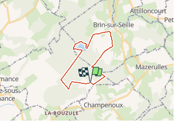

13,2 km | 16,9 km-effort


Gebruiker


Gratisgps-wandelapplicatie
 SityTrail
IGN / Geografische instituten
SityTrail World
De wereld gaat voor u open
Tocht Stappen van 11,3 km beschikbaar op Grand Est, Meurthe-et-Moselle, Amance. Deze tocht wordt voorgesteld door DanielROLLET.
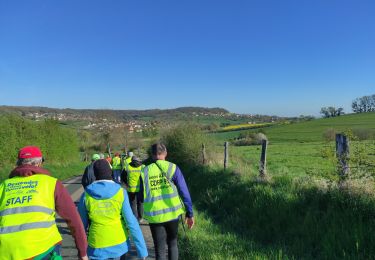
2019 06 30 - 8h35 à 11h35 - Canicule
Rando ASPV 4 personnes
Chaleur importante dés 11h30
Stappen
Stappen

Noords wandelen
Noords wandelen

Stappen
Noords wandelen
Noords wandelen
Noords wandelen
Stappen