


12,2 km | 14,2 km-effort


Gebruiker


Gratisgps-wandelapplicatie
 SityTrail
IGN / Geografische instituten
SityTrail World
De wereld gaat voor u open
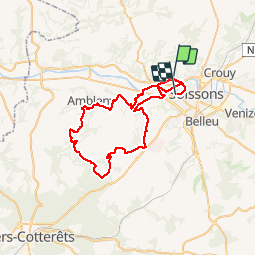
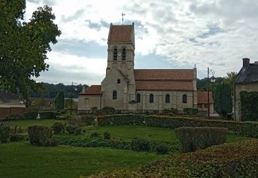
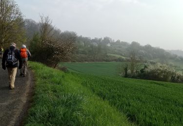
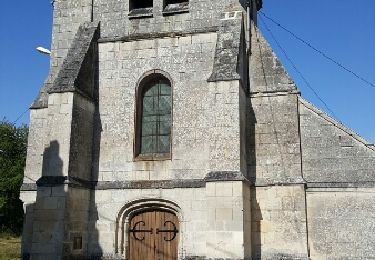
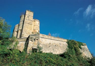
Tocht Mountainbike van 53 km beschikbaar op Hauts-de-France, Aisne, Pasly. Deze tocht wordt voorgesteld door hm.
30/06/19
Stappen
Stappen
Fiets
Stappen
Stappen
Stappen
Stappen
Mountainbike
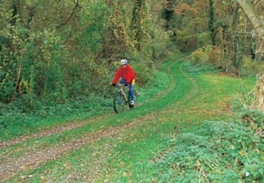
Mountainbike