


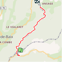


12,6 km | 26 km-effort

Gebruiker


Gratisgps-wandelapplicatie
 SityTrail
IGN / Geografische instituten
SityTrail World
De wereld gaat voor u open
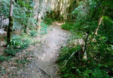
Tocht Stappen van 4,3 km beschikbaar op Auvergne-Rhône-Alpes, Drôme, Eygluy-Escoulin. Deze tocht wordt voorgesteld door bob2023.
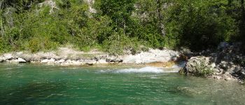
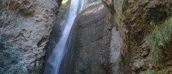
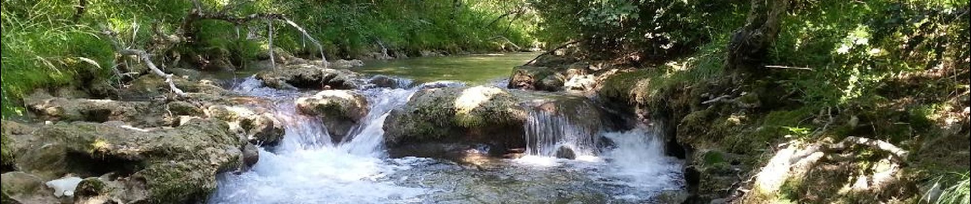
Se garer en bordure de route. Très belle rando. à faire par temps chaud. Nombreux passages dans l'eau (prévoir chaussures adéquates). Plutôt que de suivre le sentier il est possible et très agréable de remonter la Gervanne les pieds dans l'eau, vous arriverez au pied de la chute de la Druise. Les bâtons seront très utiles pour marcher dans le lit de la rivière. Pour le retour, même chemin, total environ 9 km. Note 9/10.


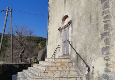
Stappen

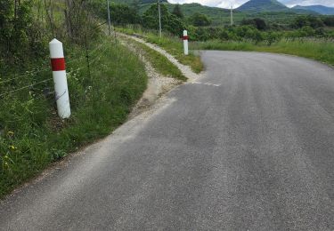
Stappen
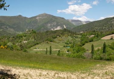
Stappen
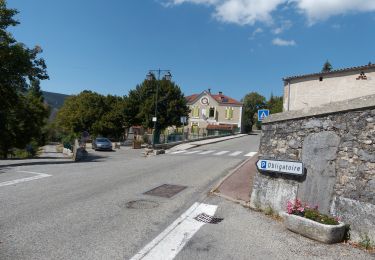
Stappen

Stappen
Stappen
Stappen
Stappen
Stappen