


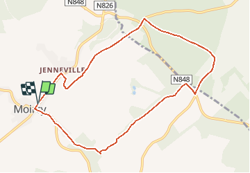

10,3 km | 13,5 km-effort


Gebruiker


Gratisgps-wandelapplicatie
 SityTrail
IGN / Geografische instituten
SityTrail World
De wereld gaat voor u open
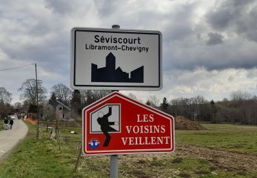
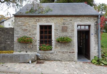
Tocht Noords wandelen van 8,9 km beschikbaar op Wallonië, Luxemburg, Libramont-Chevigny. Deze tocht wordt voorgesteld door denissculier.
au départ de la mairie de wissant, balade autour d'une ancienne carrière où la nature a repris ses droits bord de mer
Stappen
Te voet

Stappen
Stappen
Stappen

Stappen

Stappen

Stappen

Stappen