


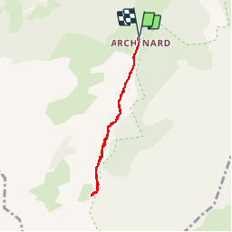


6,3 km | 9,9 km-effort

Gebruiker


Gratisgps-wandelapplicatie
 SityTrail
IGN / Geografische instituten
SityTrail World
De wereld gaat voor u open
Tocht Stappen van 6,1 km beschikbaar op Provence-Alpes-Côte d'Azur, Hautes-Alpes, Orcières. Deze tocht wordt voorgesteld door Kilroy06.
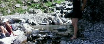
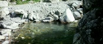
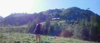
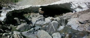
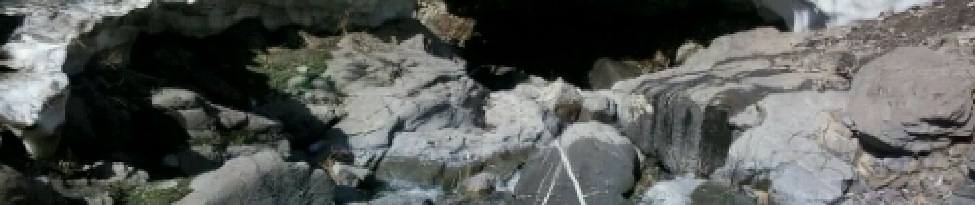
Un sentier au fond d'une très belle vallée. Balade tranquille. Petite montée le long d'un jolie torrent. Au mois d'aout cette année encore des névés le long du torrent.


Stappen

Stappen

Stappen

Stappen

Stappen

Stappen

Ski randonnée

Stappen

Stappen