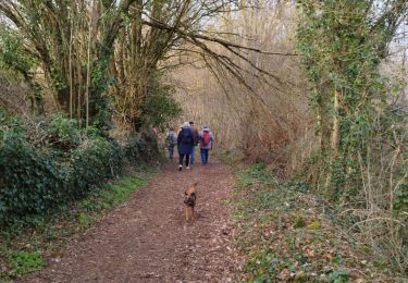
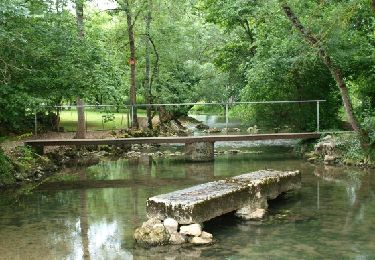
14,9 km | 17,4 km-effort
16 - LICHERES
AndreLACOMBE
Gebruiker
Lengte
8,8 km
Max. hoogte
90 m
Positief hoogteverschil
82 m
Km-Effort
9,9 km
Min. hoogte
61 m
Negatief hoogteverschil
80 m
Boucle
Ja
Datum van aanmaak :
2019-05-29 08:35:18.921
Laatste wijziging :
2019-05-29 12:55:05.688
4h18
Moeilijkheid : Heel gemakkelijk
Gratisgps-wandelapplicatie
Over ons
Tocht Stappen van 8,8 km beschikbaar op Nieuw-Aquitanië, Charente, Lichères. Deze tocht wordt voorgesteld door AndreLACOMBE.
Beschrijving
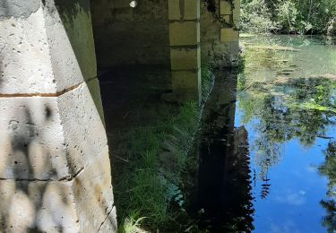
Sentier des bords de Charente. Départ de l'église St Denis.
Plaatsbepaling
Land:
France
Regio :
Nieuw-Aquitanië
Departement/Provincie :
Charente
Gemeente :
Lichères
Locatie:
Unknown
Vertrek:(Dec)
Vertrek:(UTM)
285037 ; 5086929 (31T) N.
Opmerkingen
Wandeltochten in de omgeving
autour de fontclaivau
Stappen
Gemakkelijk
Fontclaireau,
Nieuw-Aquitanië,
Charente,
France
6h 24min
Ja
Le circuit des moulins de st ciers de Bonnieure
Stappen
Medium
Saint-Ciers-sur-Bonnieure,
Nieuw-Aquitanië,
Charente,
France
8,2 km | 9,7 km-effort
2h 51min
Ja
Mouton
Stappen
Gemakkelijk
Mouton,
Nieuw-Aquitanië,
Charente,
France
8 km | 9,3 km-effort
2h 0min
Ja
Puychemin
Stappen
Medium
Lichères,
Nieuw-Aquitanië,
Charente,
France
9,1 km | 10,3 km-effort
2h 43min
Ja
mansle
Stappen
Gemakkelijk
Mansle,
Nieuw-Aquitanië,
Charente,
France
17,8 km | 21 km-effort
4h 21min
Ja