


21 km | 26 km-effort

Randonnez sur et autour des GR ® wallons (Sentiers de Grande Randonnée). PRO


Gratisgps-wandelapplicatie
 SityTrail
IGN / Geografische instituten
SityTrail World
De wereld gaat voor u open
Tocht Stappen van 17,1 km beschikbaar op Wallonië, Luik, Braives. Deze tocht wordt voorgesteld door GR Rando.
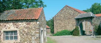
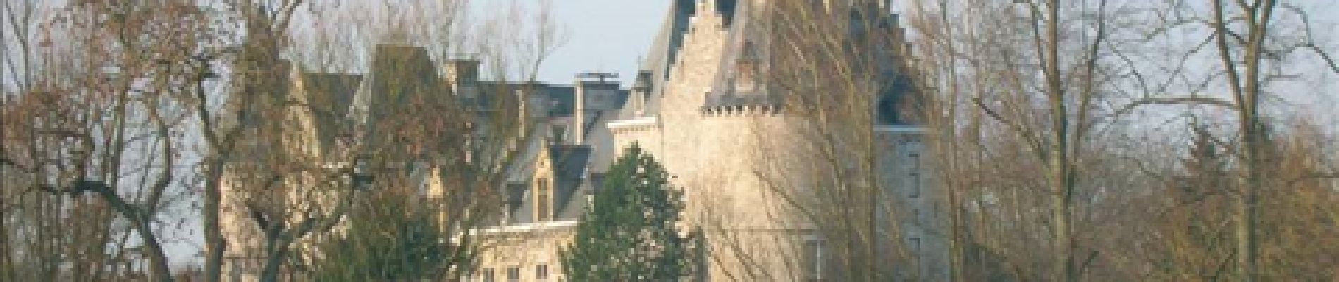
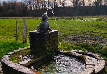
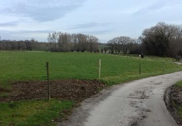
Dans le parc naturel de la Burdinale et de la Mehaigne
(Fallais, Fumal, Huccorgne, Marneffe, Fallais)
Cartographie et documentation :
Carte IGN au 1 :20 000, 41/5-6 « Wasseiges – Braives ».
Vous consulterez avec profit les topo-guides du GR 579 / 564 « Bruxelles – Liège / Hannut – Huy (Wavre – Hélécine – Amay) » et du GR 412 « Sentiers des Terrils – Est ».
Où se désaltérer et se restaurer :
À part une boulangerie, Fallais n’offre aucune possibilité dans ce domaine. À Hosdent, vous trouverez « La Taverne chantante », rue de la Centenaire.


Stappen

Stappen
Stappen

Stappen
Stappen
Stappen
Stappen