

Gorge du Gardon. Russan, Collias, PduG, Remoulins.

mthomas30
Gebruiker

Lengte
32 km

Max. hoogte
91 m

Positief hoogteverschil
366 m

Km-Effort
37 km

Min. hoogte
16 m

Negatief hoogteverschil
396 m
Boucle
Neen
Datum van aanmaak :
2019-05-23 07:42:56.601
Laatste wijziging :
2019-07-23 09:17:39.42
8h15
Moeilijkheid : Medium

Gratisgps-wandelapplicatie
Over ons
Tocht Kanoën - kajakken van 32 km beschikbaar op Occitanië, Gard, Sainte-Anastasie. Deze tocht wordt voorgesteld door mthomas30.
Beschrijving
Canoës loués chez Natu'Rando.
Ils nous ont montés jusqu'à Russan ainsi nous avons pu descendre les gorges à notre rythme et récupérer directement notre voiture à l'arrivée.
Superbe gorge, à faire au printemps tant qu'il y a encore assez d'eau.
Plaatsbepaling
Land:
France
Regio :
Occitanië
Departement/Provincie :
Gard
Gemeente :
Sainte-Anastasie
Locatie:
Unknown
Vertrek:(Dec)
Vertrek:(UTM)
606207 ; 4865016 (31T) N.
Opmerkingen
Wandeltochten in de omgeving
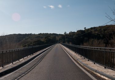
Les gorges du Gardon


Te voet
Gemakkelijk
Sainte-Anastasie,
Occitanië,
Gard,
France

5 km | 6,6 km-effort
1h 29min
Neen
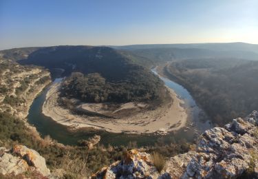
Aubarne - Le Castellas


Stappen
Medium
(1)
Sainte-Anastasie,
Occitanië,
Gard,
France

7,1 km | 8,7 km-effort
1h 58min
Ja
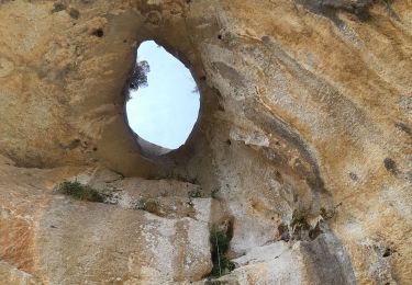
30 russan


Stappen
Medium
Sainte-Anastasie,
Occitanië,
Gard,
France

15,9 km | 22 km-effort
6h 8min
Ja
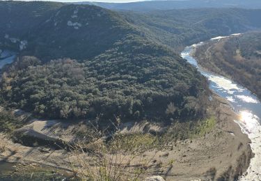
Russan_Castellane_Pont_St_Nicolas_Vic


Stappen
Medium
Sainte-Anastasie,
Occitanië,
Gard,
France

13 km | 17,2 km-effort
3h 54min
Ja
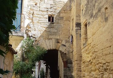
Russan pont Saint-Nicolas


Stappen
Medium
Sainte-Anastasie,
Occitanië,
Gard,
France

12,2 km | 15,9 km-effort
3h 14min
Ja
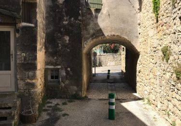
Les capitelles de Blauzac


Stappen
Moeilijk
Blauzac,
Occitanië,
Gard,
France

13,7 km | 16,5 km-effort
4h 15min
Ja
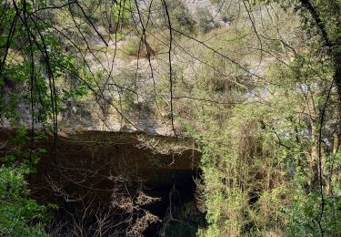
Russan plateau St Nicolas et gouffre des Espelugues


Stappen
Moeilijk
Sainte-Anastasie,
Occitanië,
Gard,
France

20 km | 27 km-effort
6h 4min
Ja
arsel de blauzac au pont saint nicolas


Stappen
Gemakkelijk
Blauzac,
Occitanië,
Gard,
France

23 km | 28 km-effort
6h 41min
Ja
Régordane 8 - Ste Anastasie-Nimes


Stappen
Gemakkelijk
Sainte-Anastasie,
Occitanië,
Gard,
France

28 km | 33 km-effort
8h 2min
Neen


 SityTrail


