


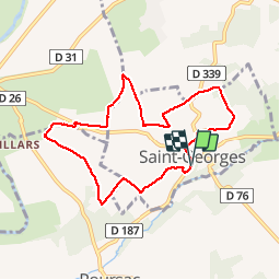

17,5 km | 19,6 km-effort

Gebruiker


Gratisgps-wandelapplicatie
 SityTrail
IGN / Geografische instituten
SityTrail World
De wereld gaat voor u open
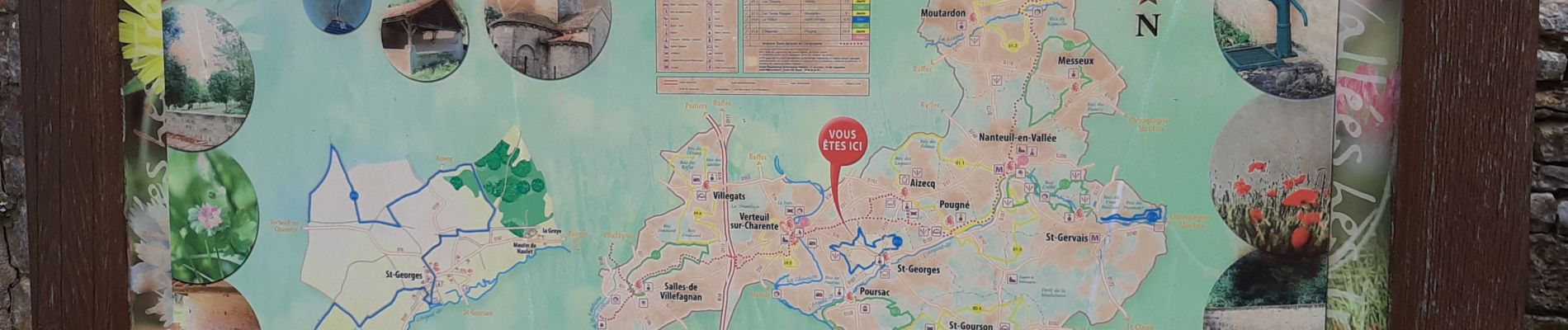
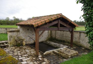
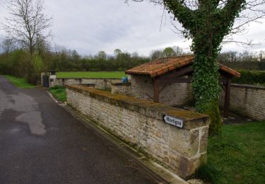
Tocht Stappen van 7,9 km beschikbaar op Nieuw-Aquitanië, Charente, Saint-Georges. Deze tocht wordt voorgesteld door alainjoseph6.
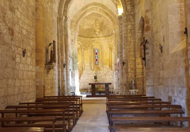
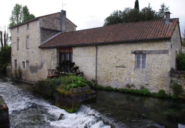
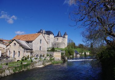
Une magnifique randonnée très venteuse avec des paysages à perte de vue. Nous avons cheminé au milieu des champs des céréales entourés d'une trentaine d'éoliennes.


Hybride fiets

Mountainbike
Stappen
Stappen
Stappen

Stappen
Stappen