


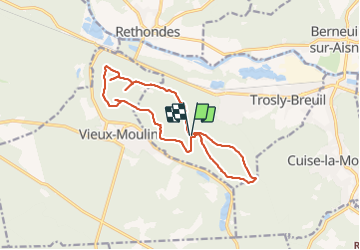


9,6 km | 12,8 km-effort
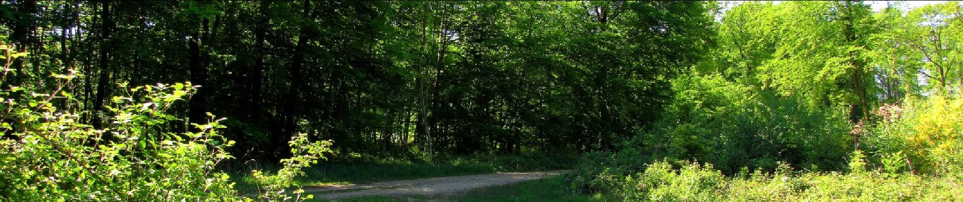

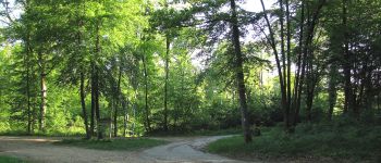
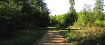
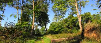
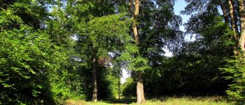
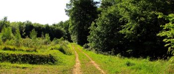
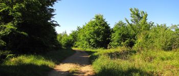
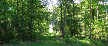
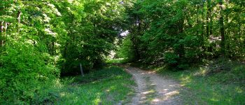
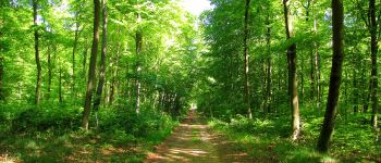
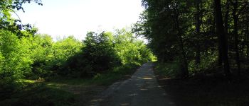
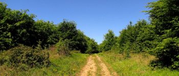
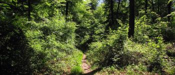
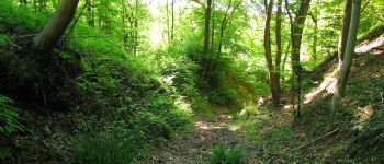
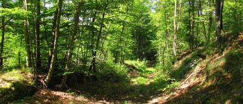
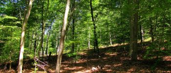
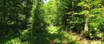
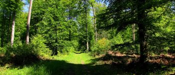
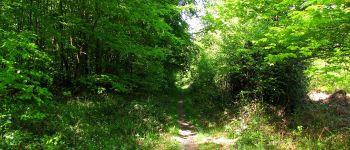
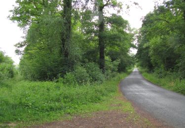
mes randos en forêt


Gratisgps-wandelapplicatie
 SityTrail
IGN / Geografische instituten
SityTrail World
De wereld gaat voor u open
Tocht Stappen van 13,8 km beschikbaar op Hauts-de-France, Oise, Trosly-Breuil. Deze tocht wordt voorgesteld door en forêt de Compiègne.
voir aussi: la-foret-de-compiegne.fr/
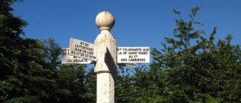
objectifs: faire les Routes Tournantes sur le Mont Saint-Mard et sur le Mont Collet (d'après les cartes IGN et aussi la description de ces routes par René Mouton): http://foretdecompiegne.free.fr/sommairebis.html).
batterie de recharge pour iphone obligatoire.
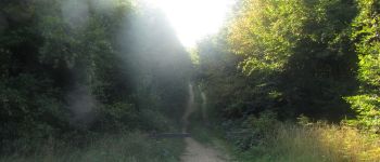
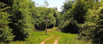
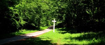
au départ du carrefour_route tournante sur le Mont Collet_route tournante sur le Mont Saint-Mard (petit parking), suivre la Route Tournante sur le Mont Saint-Mard en descendant vers la D547. Faire cette Tournante dans le sens des aiguilles d'une montre.
De retour au point de départ, faire la Route Tournante sur le Mont Collet par le haut et en suivant le sens des aiguilles d'une montre.
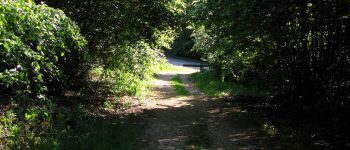
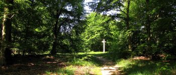
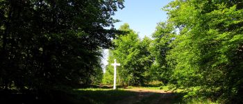
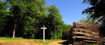
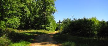
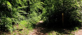
remarques: durant la rando sur la Route Tournante sur le Mont Saint-Mard, passage à des carrefours nommés qui ne sont pas sur cette Tournante:
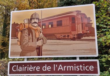
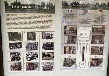
carrefour de la Fontaine Jean de Limé, carrefour du Geai, carrefour de Courcelles pour des photos faites au printemps.


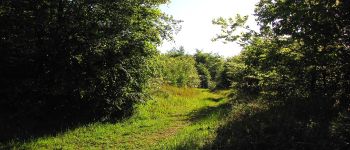
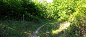
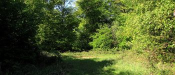
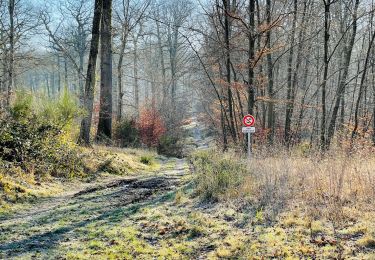
184 fotos in totaal. Klik op een foto om ze allemaal in de galerij weer te geven.
Stappen
Stappen

Te voet
Te voet
Stappen

Stappen
Stappen
Stappen
Stappen