


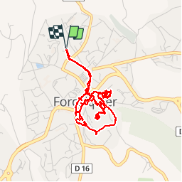


13,2 km | 17,4 km-effort


Gebruiker


Gratisgps-wandelapplicatie
 SityTrail
IGN / Geografische instituten
SityTrail World
De wereld gaat voor u open
Tocht Stappen van 6,1 km beschikbaar op Provence-Alpes-Côte d'Azur, Alpes-de-Haute-Provence, Forcalquier. Deze tocht wordt voorgesteld door hal2012.
Départ 15h05
Tour de la ville....
...
Salon de thé 18h30... 18h45
Café et thé gourmands (6 7€)
Sirop gingembre (2€)
Total 15€
Retour à la Citadelle...
Retour maison 20h05.


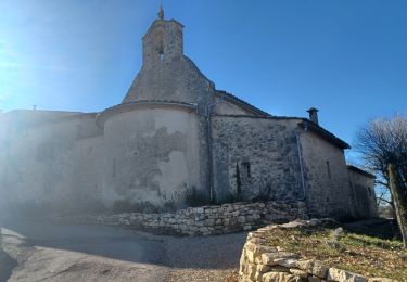
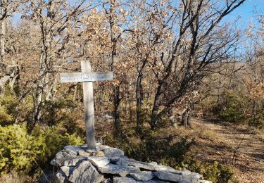
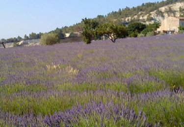
32 fotos in totaal. Klik op een foto om ze allemaal in de galerij weer te geven.
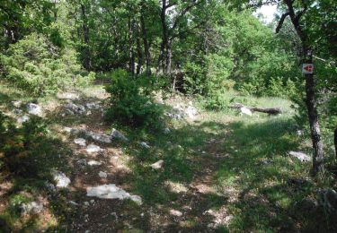
Stappen
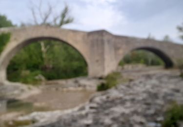
Stappen
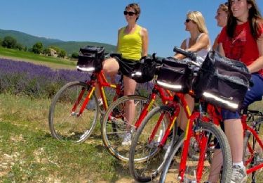
Fiets

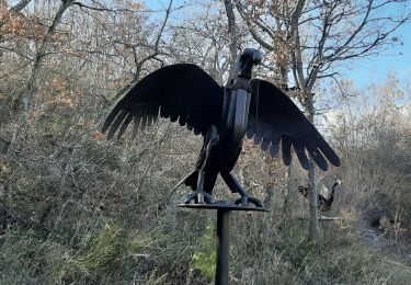
Stappen

Stappen
Mountainbike
Stappen
Stappen
Fiets