


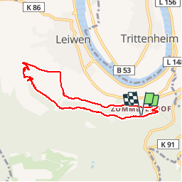

12,1 km | 16,6 km-effort

Gebruiker GUIDE


Gratisgps-wandelapplicatie
 SityTrail
IGN / Geografische instituten
SityTrail World
De wereld gaat voor u open
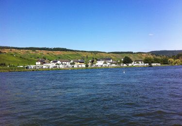
Tocht Stappen van 6,7 km beschikbaar op Rijnland-Palts, Landkreis Trier-Saarburg, Leiwen. Deze tocht wordt voorgesteld door rvapeldo.
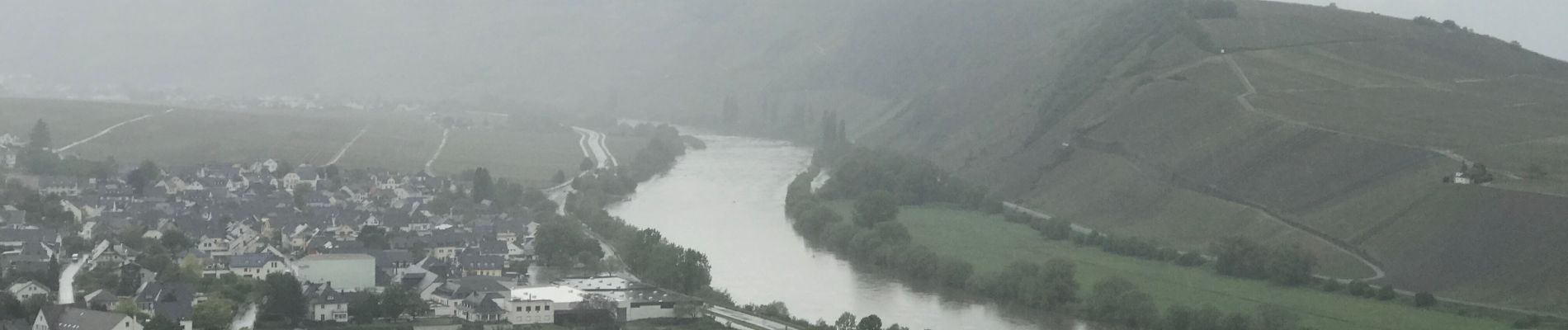
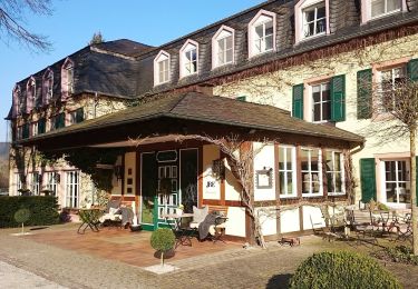
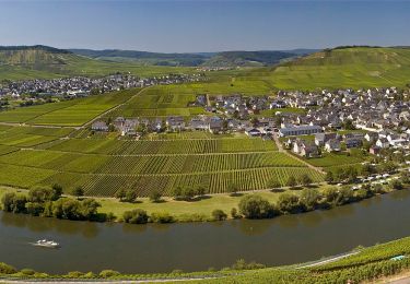
Promenade dans les hauteurs de Leiwin, au départ d’une zone où il y a des hôtels et des logements de type weingug (vignerons). Il démarre en crête dans les bois, puis serpente dans les vignes, en passant par une charmante chapelle.


Te voet

Te voet
Te voet

Stappen

Stappen
Te voet

Te voet

Te voet
Te voet