


4,6 km | 6,2 km-effort

Gebruiker


Gratisgps-wandelapplicatie
 SityTrail
IGN / Geografische instituten
SityTrail World
De wereld gaat voor u open
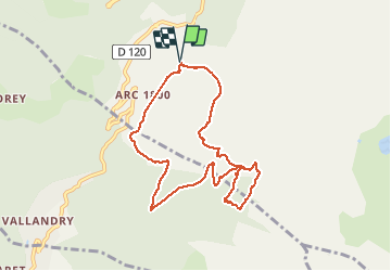
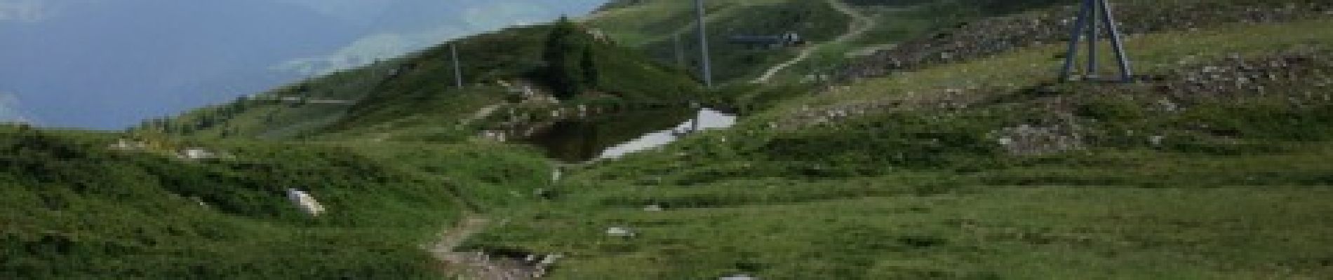
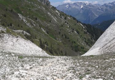
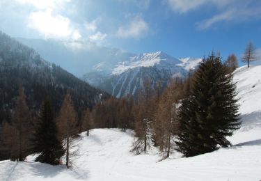
Tocht Stappen van 8,8 km beschikbaar op Auvergne-Rhône-Alpes, Savoie, Bourg-Saint-Maurice. Deze tocht wordt voorgesteld door gildas.lemasson.
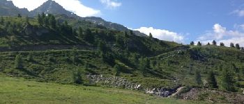
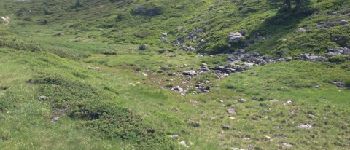
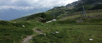
Une montée un peu rude (500m ), mais pour le plaisir de traverser ce joli espace botanique. Le lac est plutôt un petit mariguot. Descente très cool, contournement du golf pour enfin traverser le parc aventure au dessus de la piscine des Arcs 1800.


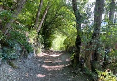
Stappen

Stappen
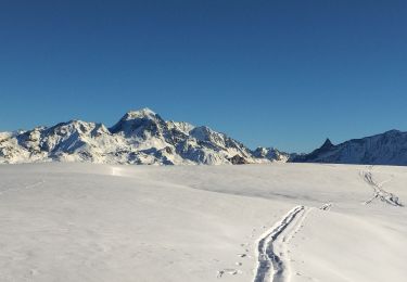
Ski randonnée
Ski randonnée
Stappen
Stappen
Stappen
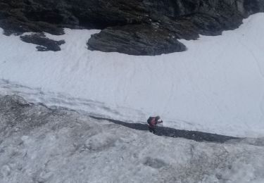
Sneeuwschoenen
Sneeuwschoenen