


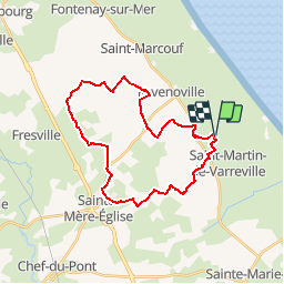

12,7 km | 13,4 km-effort


Gebruiker


Gratisgps-wandelapplicatie
 SityTrail
IGN / Geografische instituten
SityTrail World
De wereld gaat voor u open
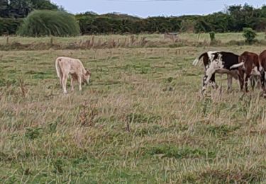
Tocht Paard van 26 km beschikbaar op Normandië, Manche, Saint-Germain-de-Varreville. Deze tocht wordt voorgesteld door Bajac.
Boucle:
Départ de Saint Germain de Varreville, pique nique à la batterie d'Azerville, décroché par sainte Mère Eglise au choix...et retour à SGV
Stappen
Elektrische fiets
Elektrische fiets

Paard
Stappen
Paard
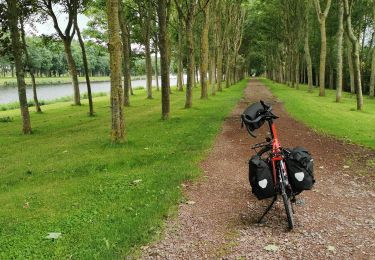
Fietstoerisme
Paard

Stappen