


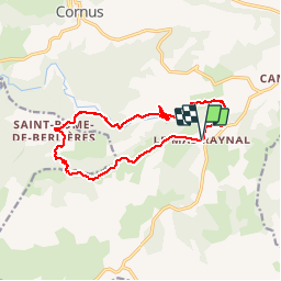

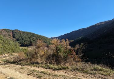
13,4 km | 19 km-effort

La marche dans les monts d'Orb, le Caroux, et dans l'Hérault et l'aveyron


Gratisgps-wandelapplicatie
 SityTrail
IGN / Geografische instituten
SityTrail World
De wereld gaat voor u open
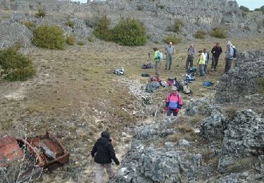
Tocht Stappen van 13,4 km beschikbaar op Occitanië, Aveyron, Cornus. Deze tocht wordt voorgesteld door Groupe de marche du Recantou.
Randonnée du mas Raynal a St Rome de Bélieres

Stappen

Te voet
Stappen
Stappen
Stappen

Stappen
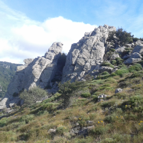
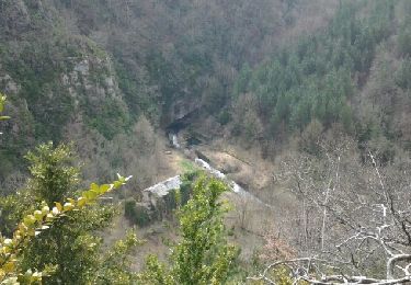
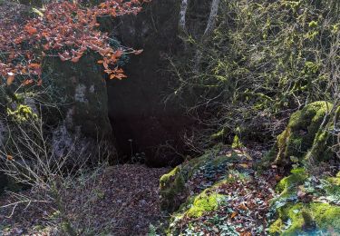
Très beau parcours