


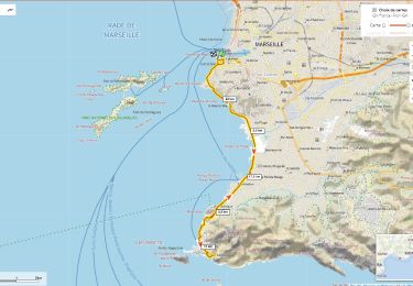
2,7 km | 3,4 km-effort


Gebruiker


Gratisgps-wandelapplicatie
 SityTrail
IGN / Geografische instituten
SityTrail World
De wereld gaat voor u open
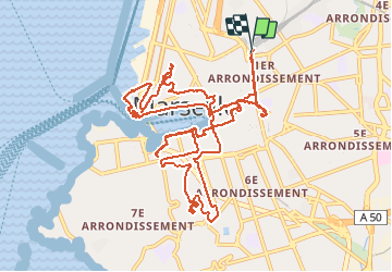
Tocht Stappen van 17,1 km beschikbaar op Provence-Alpes-Côte d'Azur, Bouches-du-Rhône, Marseille. Deze tocht wordt voorgesteld door LtZIP.
IBP : Bleu - 46
Accès à Notre-Dame-de-la-Garde: Aller et Retour en bus (ligne 60) au départ du port.


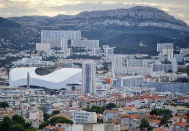
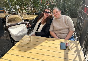
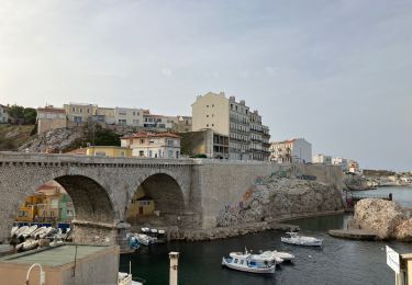
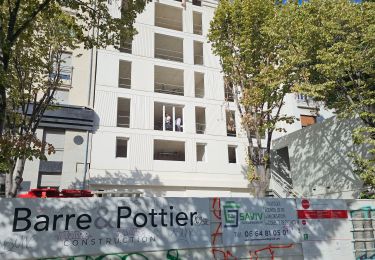
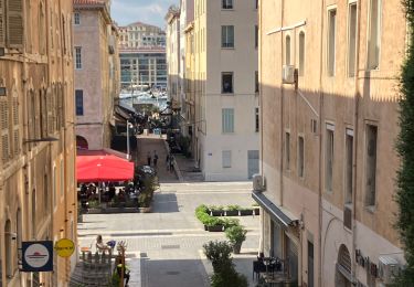
24 fotos in totaal. Klik op een foto om ze allemaal in de galerij weer te geven.

Stappen
Stappen

Stappen
Stappen
Stappen
Stappen
Wegfiets
Stappen

Stappen