


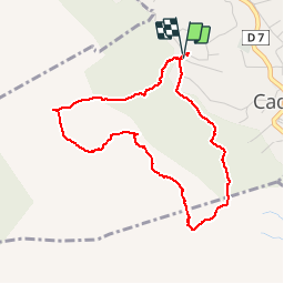

13,7 km | 20 km-effort
Séjours montagne été / hiver (raquettes)


Gratisgps-wandelapplicatie
 SityTrail
IGN / Geografische instituten
SityTrail World
De wereld gaat voor u open
Tocht Stappen van 4,2 km beschikbaar op Provence-Alpes-Côte d'Azur, Bouches-du-Rhône, Cadolive. Deze tocht wordt voorgesteld door Randonnées en Provence.
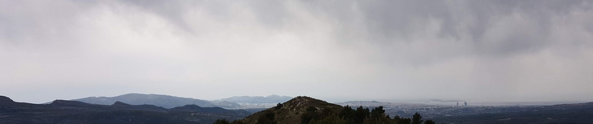
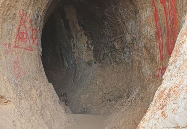
Très agréable et beau vallon; facile


Stappen

Stappen

Stappen

Stappen
Stappen
Stappen

Mountainbike
Mountainbike

Mountainbike