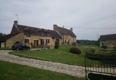
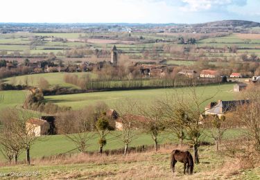
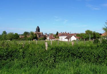
7,4 km | 9,6 km-effort
20190418Males Orne
Jeanclaudebic
Gebruiker
Lengte
15,1 km
Max. hoogte
212 m
Positief hoogteverschil
312 m
Km-Effort
19,2 km
Min. hoogte
106 m
Negatief hoogteverschil
310 m
Boucle
Ja
Datum van aanmaak :
2019-04-18 08:37:35.086
Laatste wijziging :
2019-04-18 12:44:21.732
3h45
Moeilijkheid : Heel gemakkelijk
Gratisgps-wandelapplicatie
Over ons
Tocht Stappen van 15,1 km beschikbaar op Normandië, Orne, Val-au-Perche. Deze tocht wordt voorgesteld door Jeanclaudebic.
Plaatsbepaling
Land:
France
Regio :
Normandië
Departement/Provincie :
Orne
Gemeente :
Val-au-Perche
Locatie:
Unknown
Vertrek:(Dec)
Vertrek:(UTM)
332132 ; 5348957 (31U) N.
Opmerkingen
Wandeltochten in de omgeving
Le Theil-sur-Huisne (Val-au-Perche)-Saint-Germain-de-la-Coudre - 7,4 Km
Stappen
Medium
Val-au-Perche,
Normandië,
Orne,
France
2h 3min
Neen
avezé Sarthe
Stappen
Gemakkelijk
Avezé,
Pays de la Loire,
Sarthe,
France
13,4 km | 15,9 km-effort
4h 17min
Ja
Le Theil-sur-Huisne (Val-au-Perche) - Saint-Cyr-la-Rosière 11 km
Stappen
Gemakkelijk
Val-au-Perche,
Normandië,
Orne,
France
11,2 km | 13,6 km-effort
2h 52min
Neen
Avezé - Au coeur du bocage percheron
Stappen
Medium
Avezé,
Pays de la Loire,
Sarthe,
France
14,6 km | 17,7 km-effort
3h 30min
Ja
Les bois de Beauvais
Stappen
Gemakkelijk
Avezé,
Pays de la Loire,
Sarthe,
France
11,2 km | 14,6 km-effort
3h 19min
Ja
SityTrail - Saint-Hilaire sur Erre 8,4 km
Stappen
Medium
Saint-Hilaire-sur-Erre,
Normandië,
Orne,
France
8,1 km | 9,5 km-effort
2h 9min
Ja
Mâle Vallée de la Jambette 8.4 Km
Stappen
Gemakkelijk
Val-au-Perche,
Normandië,
Orne,
France
8,4 km | 10,8 km-effort
2h 48min
Ja
TCP Etape Tour complet
Stappen
Gemakkelijk
Val-au-Perche,
Normandië,
Orne,
France
2657 km | 2707 km-effort
7h 16min
Neen
Le Theils sur Huisnes 13.4 Km
Stappen
Medium
Val-au-Perche,
Normandië,
Orne,
France
13,4 km | 16,2 km-effort
3h 32min
Ja