


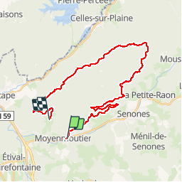


28 km | 37 km-effort

Gebruiker GUIDE


Gratisgps-wandelapplicatie
 SityTrail
IGN / Geografische instituten
SityTrail World
De wereld gaat voor u open
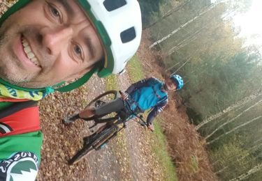
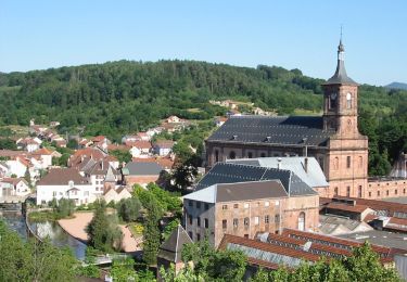
Tocht Mountainbike van 30 km beschikbaar op Grand Est, Vogezen, Moyenmoutier. Deze tocht wordt voorgesteld door fabwin.
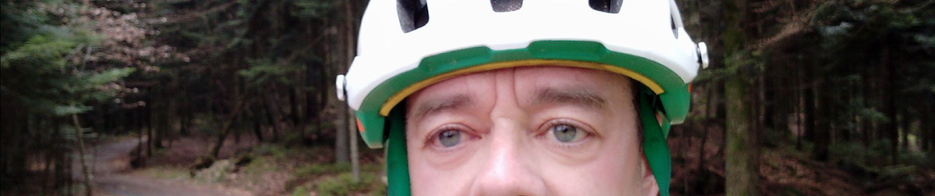
Très belle sortie vtt à Moyenmoutier avec Sébastien & Luca.
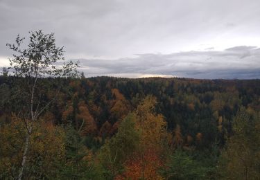
Le début est assez dur avec une grosse montée de suite, je pense qu'il vaut mieux se chauffer un peu avant. Des magnifiques singles qui un coup sont en montée, un autre encore en montée et finalement ils y en a quand même en descentes, Ouf!!!
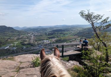
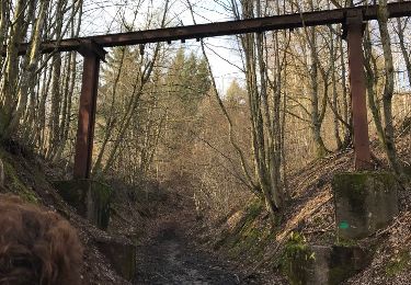
On a été sur la crête sur des hauts lieux de la 1ère guerre mondiale. Beaucoup de vestiges persistent à travers le temps et sont d'ailleurs bien entretenus.
Un parcours technique qui se mérite.
30 km et environ 1000m de D !!!


22 fotos in totaal. Klik op een foto om ze allemaal in de galerij weer te geven.
Paardrijden
Stappen
Mountainbike

Mountainbike
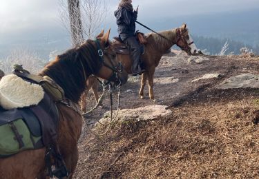
Paardrijden
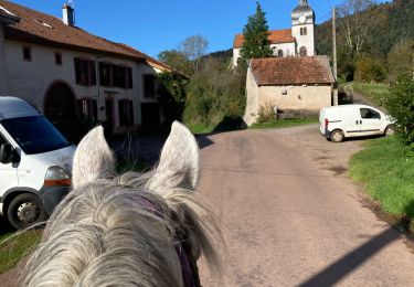
Paardrijden
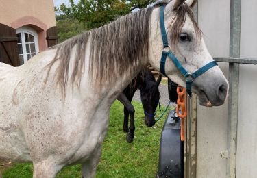
Paardrijden
Te voet
Mountainbike