


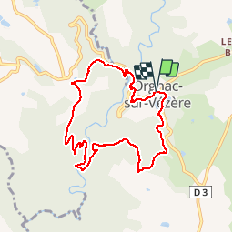

20 km | 30 km-effort


Gebruiker


Gratisgps-wandelapplicatie
 SityTrail
IGN / Geografische instituten
SityTrail World
De wereld gaat voor u open
Tocht Stappen van 8,4 km beschikbaar op Nieuw-Aquitanië, Corrèze, Orgnac-sur-Vézère. Deze tocht wordt voorgesteld door houbart.
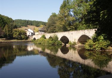
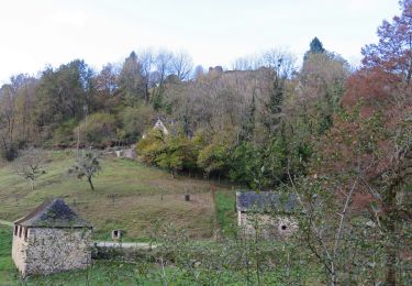
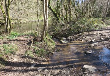
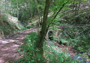
Au point de départ, on peut admirer les vitraux de Kim En Joong, de l'église Saint-Martial. Balade dans les bois puis le long de la Loyre, hauts lieux de la Résistance (stèle).
Stappen

Stappen

Stappen

Stappen
Stappen

Stappen
Stappen

Stappen
Stappen