10,2 km | 12,6 km-effort
houlbec
JamesVautier
Gebruiker
Lengte
9,3 km
Max. hoogte
146 m
Positief hoogteverschil
96 m
Km-Effort
10,6 km
Min. hoogte
100 m
Negatief hoogteverschil
97 m
Boucle
Ja
Datum van aanmaak :
2019-04-02 11:44:22.507
Laatste wijziging :
2019-04-02 16:06:51.062
2h37
Moeilijkheid : Gemakkelijk
Gratisgps-wandelapplicatie
Over ons
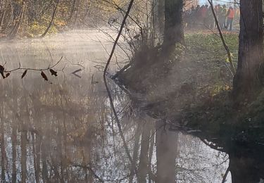
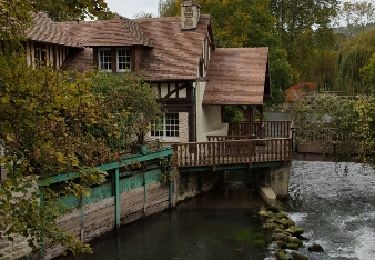
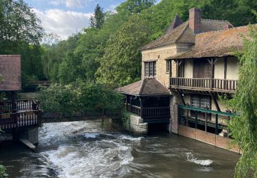
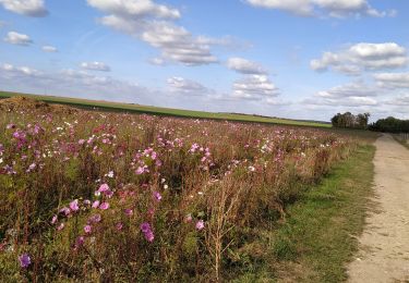
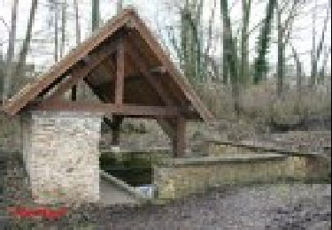
Tocht Stappen van 9,3 km beschikbaar op Normandië, Eure, Houlbec-Cocherel. Deze tocht wordt voorgesteld door JamesVautier.
Beschrijving
facile
Plaatsbepaling
Land:
France
Regio :
Normandië
Departement/Provincie :
Eure
Gemeente :
Houlbec-Cocherel
Locatie:
Unknown
Vertrek:(Dec)
Vertrek:(UTM)
380547 ; 5436946 (31U) N.
Opmerkingen
Wandeltochten in de omgeving
Ménilles - sentier de découverte
Stappen
Gemakkelijk
(2)
Ménilles,
Normandië,
Eure,
France
2h 41min
Ja
Jouy sur eure
Stappen
Medium
Fontaine-sous-Jouy,
Normandië,
Eure,
France
13,4 km | 16,3 km-effort
3h 21min
Ja
Vallée de la Rance
Stappen
Medium
Rouvray,
Normandië,
Eure,
France
12,2 km | 15 km-effort
3h 3min
Ja
Rando Fontaine sous Jouy du 19 juin 2023
Stappen
Medium
Jouy-sur-Eure,
Normandië,
Eure,
France
8,3 km | 9,1 km-effort
2h 34min
Ja
la chapelle réanville
Stappen
Gemakkelijk
La Chapelle-Longueville,
Normandië,
Eure,
France
17,6 km | 21 km-effort
1h 50min
Neen
La-Chapelle-Réanville - sentier des jeunes pousses
Stappen
Gemakkelijk
La Chapelle-Longueville,
Normandië,
Eure,
France
8,3 km | 9,8 km-effort
2h 9min
Ja
téléthon 2022
Stappen
Gemakkelijk
Houlbec-Cocherel,
Normandië,
Eure,
France
6,2 km | 7,2 km-effort
1h 25min
Ja
Jouy / Eure
Wegfiets
Heel gemakkelijk
Vaux-sur-Eure,
Normandië,
Eure,
France
38 km | 42 km-effort
2h 40min
Neen
2020_02_22_Douains_Forêt de Pacy
Stappen
Moeilijk
Douains,
Normandië,
Eure,
France
10,5 km | 12,5 km-effort
2h 30min
Ja