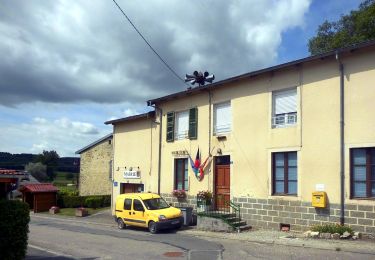
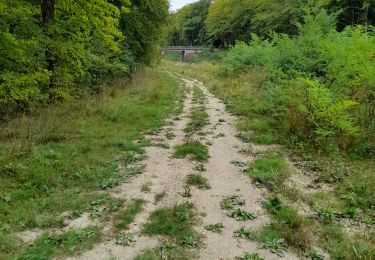
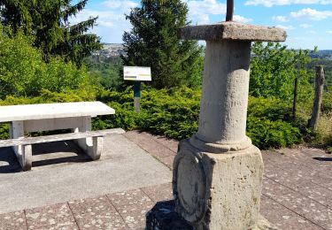
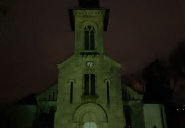
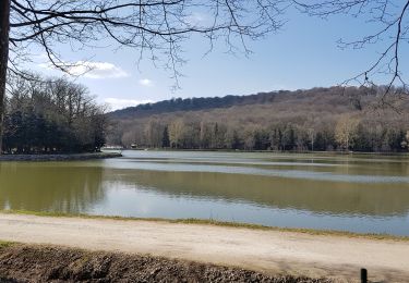
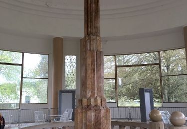
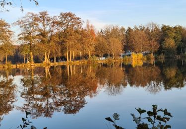
Tocht Stappen Vittel - Vittel 11 : Les golfs - Photo

Vittel 11 : Les golfs

 ABICHE
ABICHE

Gebruiker

© OpenStreetMap contributors
Lengte
Lengte
7,4 km
Max. hoogte
Max. hoogte
397 m
Positief hoogteverschil
130 m
Km-Effort
Km-Effort  
9,1 km
Min. hoogte
Min. hoogte
326 m
Negatief hoogteverschil
130 m
Boucle
Boucle
Ja
Datum van aanmaak :
2019-03-25 13:28:03.89
Laatste wijziging :
2019-03-26 10:53:39.093

(0 Bericht)

Stappen
Stappen
1h39
Moeilijkheid : Heel gemakkelijk

Scan deze QR-code om de tocht te openen in de SityTrail-applicatie

Gratisgps-wandelapplicatie

Logo SityTrail SityTrail

IGN / Geografische instituten

SityTrail uit de App Store downloaden SityTrail uit Google Play downloaden

Logo SityTrail SityTrail World

De wereld gaat voor u open

SityTrail uit de App Store downloaden SityTrail uit Google Play downloaden SityTrail op Huawei AppGallery downloaden

Over ons

Tocht Stappen van 7,4 km beschikbaar op Grand Est, Vogezen, Vittel. Deze tocht wordt voorgesteld door ABICHE.

Beschrijving

Petite randonnée autour et sur les golfs. Attention aux balles.

Hoogteprofiel

Foto's

Plaatsbepaling

Land:
France
Regio :
Grand Est
Departement/Provincie :
Vogezen
Gemeente :
Vittel
Locatie:
Unknown
Vertrek:(UTM)
718605 ; 5343283 (31U) N.

Wandeltochten in de omgeving

Tocht Te voet Vittel - Les Crêtes du Montfort - Photo
Te voet
GUIDE+

Te voet

Gemakkelijk
Vittel, Grand Est, Vogezen, France
11,3 km | 14,3 km-effort
3h 15min
Ja
Tocht Stappen Vittel - circuit 23 raccourci à 9km sans lac - Photo
Stappen
fif59280

Stappen

Medium
Vittel, Grand Est, Vogezen, France
8,5 km | 10,3 km-effort
2h 8min
Ja
Tocht Stappen Vittel - circuit Sainte Anne n15 - Photo
Stappen
fif59280

Stappen

Medium
Vittel, Grand Est, Vogezen, France
6,5 km | 8,6 km-effort
1h 43min
Neen
Tocht Stappen Contrexéville - Ccontrex-Bulgnéville-Contrex - Photo
Stappen
parastat

Stappen

Zeer moeilijk
Contrexéville, Grand Est, Vogezen, France
15,2 km | 19,2 km-effort
3h 49min
Ja
Tocht Stappen Vittel - petite balade nocturne dans le parc de Vittel  - Photo
Stappen
GUIDE
stef789

Stappen

Heel gemakkelijk
Vittel, Grand Est, Vogezen, France
4,7 km | 5,3 km-effort
1h 16min
Ja
Tocht Stappen Contrexéville - Contrexéville : Vair et voie romaine  - Photo
Stappen
ABICHE

Stappen

Heel gemakkelijk
Contrexéville, Grand Est, Vogezen, France
11 km | 13,5 km-effort
2h 30min
Ja
Tocht Stappen Vittel - Vittel : des parcs aux lacs - Photo
Stappen
ABICHE

Stappen

Heel gemakkelijk
Vittel, Grand Est, Vogezen, France
12,9 km | 15,9 km-effort
3h 27min
Ja
Tocht Stappen Contrexéville - Circuit entre forêts, thermes, et sentier des lacs au parc - Photo
Stappen
Samuel88300

Stappen

Gemakkelijk
Contrexéville, Grand Est, Vogezen, France
19,9 km | 23 km-effort
5h 4min
Ja
Tocht Stappen Contrexéville - Contrexeville - Les lacs de la Folie, de saulxures et des récollets - Photo
Stappen
jean-marie.parachini

Stappen

Gemakkelijk
Contrexéville, Grand Est, Vogezen, France
19,4 km | 24 km-effort
8h 18min
Ja


Sluiten
Mijn abonnementen