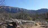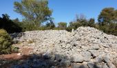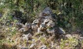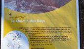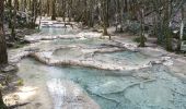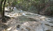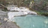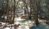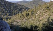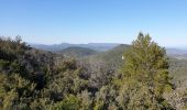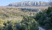

Source de l'Huveaune depuis l'hôtellerie de la Sainte Baume

lhomme.ph
Gebruiker GUIDE

Lengte
8,6 km

Max. hoogte
708 m

Positief hoogteverschil
297 m

Km-Effort
12,6 km

Min. hoogte
447 m

Negatief hoogteverschil
300 m
Boucle
Ja
Datum van aanmaak :
2019-03-22 12:29:27.957
Laatste wijziging :
2019-03-28 11:36:57.176
2h47
Moeilijkheid : Medium

Gratisgps-wandelapplicatie
Over ons
Tocht Stappen van 8,6 km beschikbaar op Provence-Alpes-Côte d'Azur, Var, Plan-d'Aups-Sainte-Baume. Deze tocht wordt voorgesteld door lhomme.ph.
Beschrijving
Plus d'information sur: http://pixels13.free.fr
Plaatsbepaling
Land:
France
Regio :
Provence-Alpes-Côte d'Azur
Departement/Provincie :
Var
Gemeente :
Plan-d'Aups-Sainte-Baume
Locatie:
Unknown
Vertrek:(Dec)
Vertrek:(UTM)
723371 ; 4801753 (31T) N.
Opmerkingen
Wandeltochten in de omgeving
Sainte Baume 8,5 km


Stappen
Medium
(1)
Plan-d'Aups-Sainte-Baume,
Provence-Alpes-Côte d'Azur,
Var,
France

8,4 km | 15,5 km-effort
4h 38min
Ja
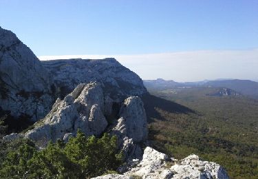
Le baou des glacières


Stappen
Medium
(1)
Nans-les-Pins,
Provence-Alpes-Côte d'Azur,
Var,
France

7,6 km | 12,2 km-effort
4h 27min
Ja
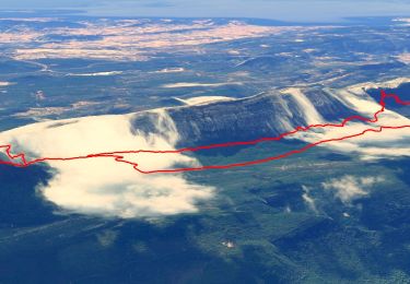
SityTrail - Sentier merveilleux - La Ste baume - Le Plan d'aups


Stappen
Medium
(1)
Plan-d'Aups-Sainte-Baume,
Provence-Alpes-Côte d'Azur,
Var,
France

15 km | 23 km-effort
6h 0min
Ja
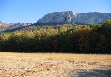
Crêts de la Ste Baume


Stappen
Medium
(2)
Plan-d'Aups-Sainte-Baume,
Provence-Alpes-Côte d'Azur,
Var,
France

15,4 km | 23 km-effort
5h 0min
Ja

La Croix des Glacières, Sainte-Baume


Stappen
Medium
(1)
Nans-les-Pins,
Provence-Alpes-Côte d'Azur,
Var,
France

7,2 km | 12 km-effort
3h 19min
Ja
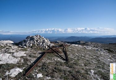
Du Col du Saint-Pilon au Pas de l'Aï, Sainte Baume


Stappen
Medium
(1)
Plan-d'Aups-Sainte-Baume,
Provence-Alpes-Côte d'Azur,
Var,
France

13,1 km | 20 km-effort
5h 15min
Ja
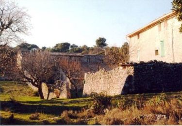
Riboux - Forêt de Malaucène


Stappen
Medium
(4)
Riboux,
Provence-Alpes-Côte d'Azur,
Var,
France

12,2 km | 15,2 km-effort
2h 40min
Ja
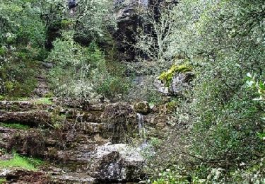
La Grotte aux oiseaux - Plan d'Aups


Stappen
Medium
(1)
Plan-d'Aups-Sainte-Baume,
Provence-Alpes-Côte d'Azur,
Var,
France

8,8 km | 12,5 km-effort
2h 30min
Ja
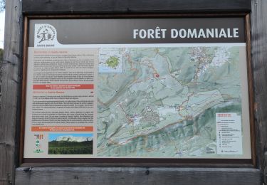
Sources des Nayes


Stappen
Medium
Saint-Zacharie,
Provence-Alpes-Côte d'Azur,
Var,
France

7,6 km | 9,6 km-effort
1h 47min
Ja


 SityTrail


