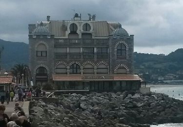
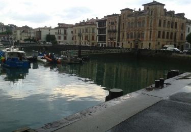
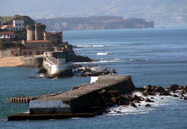
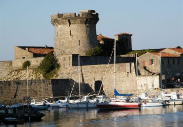
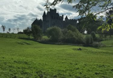
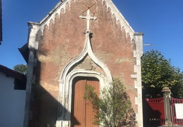
Tocht Mountainbike Urrugne - la rhune - Photo
 PierreBellevaux
PierreBellevaux

Gebruiker

© OpenStreetMap contributors
Lengte
Lengte
32 km
Max. hoogte
Max. hoogte
667 m
Positief hoogteverschil
971 m
Km-Effort
Km-Effort  
45 km
Min. hoogte
Min. hoogte
0 m
Negatief hoogteverschil
972 m
Boucle
Boucle
Ja
Datum van aanmaak :
2014-12-10 00:00:00.0
Laatste wijziging :
2014-12-10 00:00:00.0

(2 Bericht)

Mountainbike
Mountainbike
3h42
Moeilijkheid : Zeer moeilijk

Scan deze QR-code om de tocht te openen in de SityTrail-applicatie

Gratisgps-wandelapplicatie

Logo SityTrail SityTrail

IGN / Geografische instituten

SityTrail uit de App Store downloaden SityTrail uit Google Play downloaden

Logo SityTrail SityTrail World

De wereld gaat voor u open

SityTrail uit de App Store downloaden SityTrail uit Google Play downloaden SityTrail op Huawei AppGallery downloaden

Over ons

Tocht Mountainbike van 32 km beschikbaar op Nieuw-Aquitanië, Pyrénées-Atlantiques, Urrugne. Deze tocht wordt voorgesteld door PierreBellevaux.

Beschrijving

le tour gr10

Hoogteprofiel

Plaatsbepaling

Land:
France
Regio :
Nieuw-Aquitanië
Departement/Provincie :
Pyrénées-Atlantiques
Gemeente :
Urrugne
Locatie:
Unknown
Vertrek:(Dec)
Vertrek:(UTM)
606032 ; 4805309 (30T) N.

Opmerkingen

Gelieve in te loggen om een commentaar of een beoordeling achter te laten


vraiment très difficile. beaucoup de portages, en montée (~60%) comme en descente (~20%), suivant niveau. mais très beau parcours qui peut être prolongé jusqu'au sommet par le chemin venant d'Espagne.


Wandeltochten in de omgeving

Tocht Stappen Saint-Jean-de-Luz - 64 SAINT-JEAN-DE-LUZ, front de mer, pointe ste Barbe, sentier littoral - Photo
Stappen
jeff66

Stappen

Medium
(1)
Saint-Jean-de-Luz, Nieuw-Aquitanië, Pyrénées-Atlantiques, France
6,9 km | 8,4 km-effort
1h 57min
Ja
Tocht Stappen Urrugne - SOCOA HENDAYE par sentier du littoral - Photo
Stappen
jaja64

Stappen

Gemakkelijk
Urrugne, Nieuw-Aquitanië, Pyrénées-Atlantiques, France
17 km | 22 km-effort
4h 24min
Ja
Tocht Stappen Ciboure - SENTIER DU LITTORAL BASQUE  - Photo
Stappen
PVERTICAL

Stappen

Gemakkelijk
Ciboure, Nieuw-Aquitanië, Pyrénées-Atlantiques, France
14,6 km | 18,5 km-effort
4h 2min
Neen
Tocht Stappen Saint-Jean-de-Luz - JFT YB ETAPE 23 21-5-2014 - Photo
Stappen
jeff2

Stappen

Gemakkelijk
Saint-Jean-de-Luz, Nieuw-Aquitanië, Pyrénées-Atlantiques, France
17,3 km | 22 km-effort
5h 10min
Neen
Tocht Stappen Hendaye - corniche pointe st Anne - Photo
Stappen
balooales

Stappen

Heel gemakkelijk
Hendaye, Nieuw-Aquitanië, Pyrénées-Atlantiques, France
3,2 km | 4,3 km-effort
58min
Neen
Tocht Stappen Saint-Jean-de-Luz - Sentier du Littoral - De St Jean de Luz à Hendaye - Photo
Stappen
tracegps

Stappen

Medium
(1)
Saint-Jean-de-Luz, Nieuw-Aquitanië, Pyrénées-Atlantiques, France
15,1 km | 19,2 km-effort
3h 0min
Neen
Tocht Mountainbike Ciboure - La virée de Joël - Ciboure - Photo
Mountainbike
tracegps

Mountainbike

Medium
Ciboure, Nieuw-Aquitanië, Pyrénées-Atlantiques, France
36 km | 44 km-effort
3h 0min
Ja
Tocht Stappen Hendaye - Hendaye samedi JP  - Photo
Stappen
ClubAgeHeureux

Stappen

Medium
Hendaye, Nieuw-Aquitanië, Pyrénées-Atlantiques, France
5,5 km | 7,1 km-effort
1h 44min
Ja
Tocht Stappen Saint-Jean-de-Luz - Chibau Berria a Bidart - Photo
Stappen
papylou7

Stappen

Gemakkelijk
Saint-Jean-de-Luz, Nieuw-Aquitanië, Pyrénées-Atlantiques, France
10,3 km | 13,4 km-effort
2h 58min
Neen


Sluiten
Mijn abonnementen