Tocht Stappen Saint-Jean-de-la-Blaquière - Rocher des Vierges - Photo
 mdauzat
mdauzat

Gebruiker

© OpenStreetMap contributors
Lengte
Lengte
12,7 km
Max. hoogte
Max. hoogte
521 m
Positief hoogteverschil
438 m
Km-Effort
Km-Effort  
18,5 km
Min. hoogte
Min. hoogte
184 m
Negatief hoogteverschil
444 m
Boucle
Boucle
Ja
Datum van aanmaak :
2019-03-09 09:31:42.807
Laatste wijziging :
2020-03-05 19:14:57.847

(0 Bericht)

Stappen
Stappen
3h52
Moeilijkheid : Medium
Noords wandelen
Noords wandelen
3h28
Moeilijkheid : Gemakkelijk

Scan deze QR-code om de tocht te openen in de SityTrail-applicatie

Gratisgps-wandelapplicatie

Logo SityTrail SityTrail
IGN / Geografische instituten

SityTrail uit de App Store downloaden SityTrail uit Google Play downloaden

Logo SityTrail SityTrail World
De wereld gaat voor u open

SityTrail uit de App Store downloaden SityTrail uit Google Play downloaden SityTrail op Huawei AppGallery downloaden

Over ons

Tocht Stappen van 12,7 km beschikbaar op Occitanië, Hérault, Saint-Jean-de-la-Blaquière. Deze tocht wordt voorgesteld door mdauzat.

Beschrijving

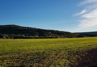
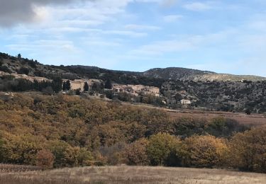
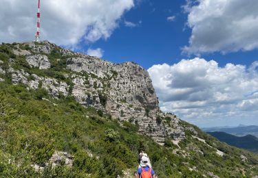
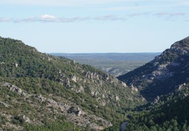
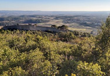
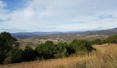
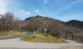
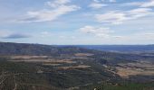
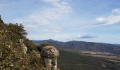
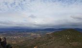
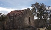
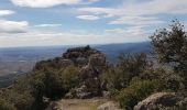
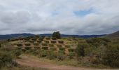
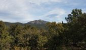
Très belle boucle sur de larges pistes, hormis pour la dernière ascension qui se fait sur un sentier un peu escarpé (sur le cheminement proposé, la descente est plus rapide que la montée). Très beaux panoramas le long du trajet, donnant un avant-goût du spectacle à l'arrivé à la chapelle et au refuge, avec une vue pratiquement à 360°, et une table d'orientation permettant de retrouver les repères essentiels (ex: Pic St-Loup,  Mont St-Baudille, la mer...).

Hoogteprofiel

Foto's

Plaatsbepaling

Land:
France
Regio :
Occitanië
Departement/Provincie :
Hérault
Gemeente :
Saint-Jean-de-la-Blaquière
Locatie:
Unknown
Vertrek:(UTM)
535302 ; 4839986 (31T) N.

Wandeltochten in de omgeving

Tocht Stappen Le Bosc - Saint-Alban - Célis - La Roque  - Photo
Stappen
mdauzat

Stappen

Medium
(1)
Le Bosc, Occitanië, Hérault, France
5,7 km | 7,9 km-effort
1h 47min
Ja
Tocht Stappen Saint-Saturnin-de-Lucian - Le Rocher des vierges - Photo
Stappen
daniel34

Stappen

Medium
(2)
Saint-Saturnin-de-Lucian, Occitanië, Hérault, France
12,1 km | 17,4 km-effort
5h 1min
Ja
Tocht Stappen Le Bosc - Le Bosc - prieuré de Grandmont - Le Brédou - Soumont - Photo
Stappen
vertygo

Stappen

Medium
(2)
Le Bosc, Occitanië, Hérault, France
19,1 km | 28 km-effort
5h 46min
Ja
Tocht Stappen Montpeyroux - Saint baudille - Photo
Stappen
yt34

Stappen

Gemakkelijk
(3)
Montpeyroux, Occitanië, Hérault, France
10,2 km | 16,2 km-effort
3h 22min
Ja
Tocht Stappen Saint-Jean-de-la-Blaquière - Les Bois de Homs et de Latude - Photo
Stappen
gerardhenr

Stappen

Gemakkelijk
(1)
Saint-Jean-de-la-Blaquière, Occitanië, Hérault, France
9,3 km | 13,1 km-effort
2h 27min
Ja
Tocht Stappen Montpeyroux - Saint-Baudille  - Photo
Stappen
Raymond DAVID

Stappen

Medium
Montpeyroux, Occitanië, Hérault, France
13,8 km | 21 km-effort
4h 30min
Ja
Tocht Stappen Montpeyroux - Font du Griffe le Baudille - Photo
Stappen
daniel34

Stappen

Moeilijk
Montpeyroux, Occitanië, Hérault, France
10,8 km | 16,8 km-effort
3h 32min
Ja
Tocht Stappen Montpeyroux - 2024-02-18_02h39m01_suuntoapp-Walking-2024-02-17T10-19-40Z-route - Photo
Stappen
jeanfcd

Stappen

Moeilijk
Montpeyroux, Occitanië, Hérault, France
11,5 km | 17,5 km-effort
3h 58min
Ja
Tocht Stappen Montpeyroux - Le Castellas de Montpeyroux - Photo
Stappen
Indi34

Stappen

Medium
Montpeyroux, Occitanië, Hérault, France
6,6 km | 9,5 km-effort
2h 2min
Ja


Sluiten
Mijn abonnementen