Tocht Stappen Gemeinde Ried im Zillertal - ried im zillertal - Photo
 Ericstorck
Ericstorck

Gebruiker

© OpenStreetMap contributors
Lengte
Lengte
6,9 km
Max. hoogte
Max. hoogte
1031 m
Positief hoogteverschil
266 m
Km-Effort
Km-Effort  
11,1 km
Min. hoogte
Min. hoogte
567 m
Negatief hoogteverschil
465 m
Boucle
Boucle
Neen
Datum van aanmaak :
2019-03-04 11:51:29.856
Laatste wijziging :
2019-03-06 11:22:29.063

(0 Bericht)

Stappen
Stappen
2h50
Moeilijkheid : Heel gemakkelijk

Scan deze QR-code om de tocht te openen in de SityTrail-applicatie

Gratisgps-wandelapplicatie

Logo SityTrail SityTrail

IGN / Geografische instituten

SityTrail uit de App Store downloaden SityTrail uit Google Play downloaden

Logo SityTrail SityTrail World

De wereld gaat voor u open

SityTrail uit de App Store downloaden SityTrail uit Google Play downloaden SityTrail op Huawei AppGallery downloaden

Over ons

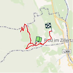
Tocht Stappen van 6,9 km beschikbaar op Tirol, Bezirk Schwaz, Gemeinde Ried im Zillertal. Deze tocht wordt voorgesteld door Ericstorck.

Hoogteprofiel

Plaatsbepaling

Land:
Austria
Regio :
Tirol
Departement/Provincie :
Bezirk Schwaz
Gemeente :
Gemeinde Ried im Zillertal
Locatie:
Unknown
Vertrek:(UTM)
715905 ; 5242183 (32T) N.

Wandeltochten in de omgeving

Tocht Stappen Gemeinde Ried im Zillertal - Ried il Zillertal - Stumm - Photo
Stappen
Ericstorck

Stappen

Heel gemakkelijk
Gemeinde Ried im Zillertal, Tirol, Bezirk Schwaz, Austria
14,1 km | 22 km-effort
4h 4min
Ja


Sluiten
Mijn abonnementen