


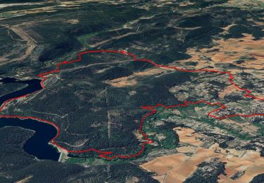
14 km | 18,3 km-effort


Gebruiker


Gratisgps-wandelapplicatie
 SityTrail
IGN / Geografische instituten
SityTrail World
De wereld gaat voor u open
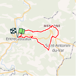
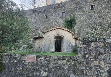
Tocht Stappen van 12,3 km beschikbaar op Provence-Alpes-Côte d'Azur, Var, Entrecasteaux. Deze tocht wordt voorgesteld door Greg813.
Randonnée à partir d'Entrecasteaux. Il est possible de moduler la difficulté : cette zone est traversée de multiples chemins.
Stappen

Andere activiteiten

Mountainbike
Mountainbike

Stappen
Stappen
Stappen


sport
Stappen