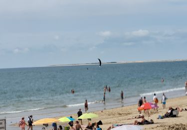
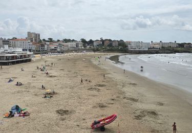
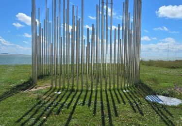
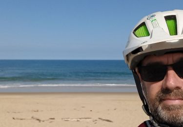
Tocht Te voet Saint-Georges-de-Didonne - St Georges-Vallières 17   8km200 - Photo
 Jos17
Jos17

Gebruiker

© OpenStreetMap contributors
Lengte
Lengte
8,2 km
Max. hoogte
Max. hoogte
21 m
Positief hoogteverschil
68 m
Km-Effort
Km-Effort  
9,1 km
Min. hoogte
Min. hoogte
0 m
Negatief hoogteverschil
68 m
Boucle
Boucle
Ja
Datum van aanmaak :
2019-02-28 11:23:40.322
Laatste wijziging :
2023-07-21 12:17:49.758

(0 Bericht)

Te voet
Te voet
2h03
Moeilijkheid : Gemakkelijk

Scan deze QR-code om de tocht te openen in de SityTrail-applicatie

Gratisgps-wandelapplicatie

Logo SityTrail SityTrail

IGN / Geografische instituten

SityTrail uit de App Store downloaden SityTrail uit Google Play downloaden

Logo SityTrail SityTrail World

De wereld gaat voor u open

SityTrail uit de App Store downloaden SityTrail uit Google Play downloaden SityTrail op Huawei AppGallery downloaden

Over ons

Tocht Te voet van 8,2 km beschikbaar op Nieuw-Aquitanië, Charente-Maritime, Saint-Georges-de-Didonne. Deze tocht wordt voorgesteld door Jos17.

Beschrijving

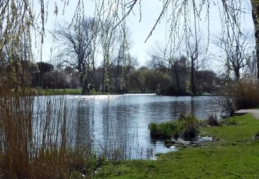
Le parcours traverse le centre de St.Georges, puis les avenues du Parc de Vallières avec leurs résidences secondaires ombragées par les pins ayant résistés à la tempête de 1999, pour arriver au Riveau de Boubes.
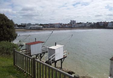
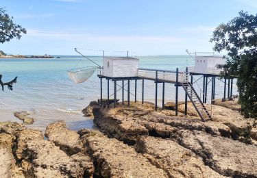
Le parcours suit le filet d'eau jusqu'à la plage et revient sur St Georges en longeant la plage et la corniche jusqu'au port.
Le parcours peut se poursuivre  jusqu'au bout de la plage et revenir par l'avenue intérieure.

Hoogteprofiel

Foto's

Plaatsbepaling

Land:
France
Regio :
Nieuw-Aquitanië
Departement/Provincie :
Charente-Maritime
Gemeente :
Saint-Georges-de-Didonne
Locatie:
Unknown
Vertrek:(UTM)
656566 ; 5051480 (30T) N.

Wandeltochten in de omgeving

Tocht Te voet Saint-Georges-de-Didonne - 17 StGeorges -Chenaumoine - Photo
Te voet
Jos17

Te voet

Gemakkelijk
(2)
Saint-Georges-de-Didonne, Nieuw-Aquitanië, Charente-Maritime, France
6,6 km | 7,4 km-effort
1h 41min
Ja
Tocht Stappen Royan - Royan-La Palmyre - Photo
Stappen
Bobol

Stappen

Heel gemakkelijk
(1)
Royan, Nieuw-Aquitanië, Charente-Maritime, France
16,8 km | 18,7 km-effort
4h 4min
Neen
Tocht Stappen Royan - Gr4 De Royan au phrare de Terre Nègre - Photo
Stappen
GUIDE
chessyca

Stappen

Heel gemakkelijk
Royan, Nieuw-Aquitanië, Charente-Maritime, France
14,3 km | 16,3 km-effort
3h 11min
Neen
Tocht Elektrische fiets Royan - sortie vtt 20072024 - Photo
Elektrische fiets
GUIDE
fabwin

Elektrische fiets

Medium
Royan, Nieuw-Aquitanië, Charente-Maritime, France
76 km | 82 km-effort
3h 48min
Ja
Tocht Elektrische fiets Royan - sortie vtt 16072024 la Palmyre - Photo
Elektrische fiets
GUIDE
fabwin

Elektrische fiets

Gemakkelijk
Royan, Nieuw-Aquitanië, Charente-Maritime, France
35 km | 39 km-effort
2h 5min
Ja
Tocht Elektrische fiets Royan - sortie vtt 12072024 Royan - Photo
Elektrische fiets
GUIDE
fabwin

Elektrische fiets

Gemakkelijk
Royan, Nieuw-Aquitanië, Charente-Maritime, France
43 km | 48 km-effort
2h 41min
Ja
Tocht Elektrische fiets Royan - sortie vtt 10072023 Talmont - Photo
Elektrische fiets
GUIDE
fabwin

Elektrische fiets

Medium
Royan, Nieuw-Aquitanië, Charente-Maritime, France
55 km | 61 km-effort
3h 5min
Ja
Tocht Elektrische fiets Royan - sortie vtt 08072023 phare de la Coubre  - Photo
Elektrische fiets
GUIDE
fabwin

Elektrische fiets

Gemakkelijk
Royan, Nieuw-Aquitanië, Charente-Maritime, France
60 km | 65 km-effort
3h 9min
Ja
Tocht Elektrische fiets Royan - royan vtt 09072022 - Photo
Elektrische fiets
GUIDE
fabwin

Elektrische fiets

Heel gemakkelijk
Royan, Nieuw-Aquitanië, Charente-Maritime, France
42 km | 46 km-effort
2h 3min
Ja


Sluiten
Mijn abonnementen