


5,2 km | 6,4 km-effort
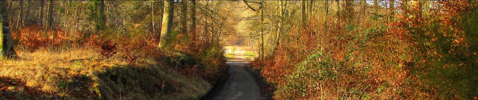

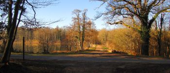
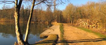
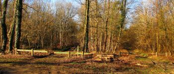
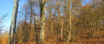
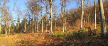
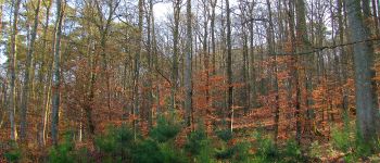
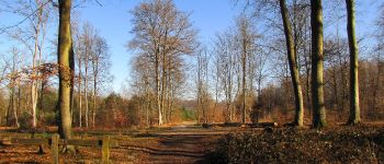
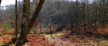
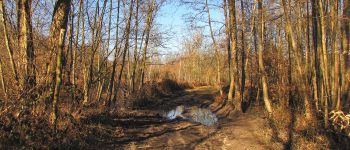
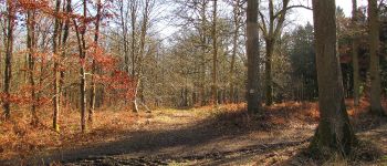
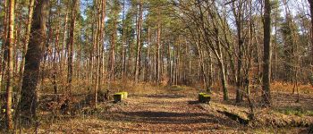
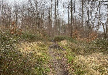
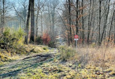
mes randos en forêt


Gratisgps-wandelapplicatie
 SityTrail
IGN / Geografische instituten
SityTrail World
De wereld gaat voor u open
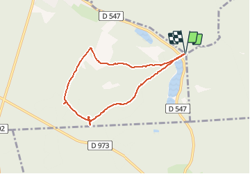
Tocht Stappen van 6,5 km beschikbaar op Hauts-de-France, Oise, Vieux-Moulin. Deze tocht wordt voorgesteld door en forêt de Compiègne.
voir aussi mon blog: http://foret-de-compiegne.over-blog.com/tag/randonnees/
02/ 2019
batterie pour iphone conseillée. Rando facile.
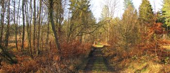
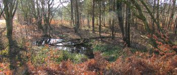
objectif: faire les Tournantes du Mont Saint-Pierre.
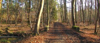
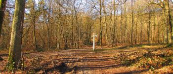
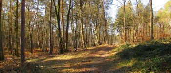
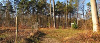
Au départ du carrefour des étangs, suivre la Route des étangs Saint-Pierre (voir le chêne sous Saint-Pierre) puis continuer sur la Route Tournante sous Saint-Pierre pour revenir au point de départ.


88 fotos in totaal. Klik op een foto om ze allemaal in de galerij weer te geven.

Te voet
Te voet

Stappen

Stappen
Stappen
Stappen
Stappen
Stappen

Te voet